Montale | |
|---|---|
| Comune di Montale | |
 | |
 Coat of arms | |
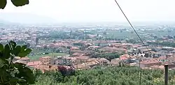
Location of Montale | |
 Montale Location of Montale in Italy 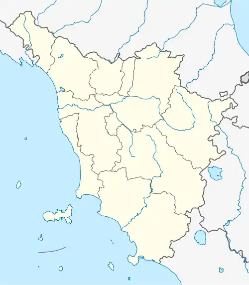 Montale Montale (Tuscany) | |
| Coordinates: 43°56′N 11°1′E / 43.933°N 11.017°E | |
| Country | Italy |
| Region | Tuscany |
| Province | Pistoia (PT) |
| Frazioni | Fognano, Tobbiana,Stazione |
| Government | |
| • Mayor | Ferdinando Betti |
| Area | |
| • Total | 32.17 km2 (12.42 sq mi) |
| Elevation | 85 m (279 ft) |
| Population (30 November 2017)[2] | |
| • Total | 10,793 |
| • Density | 340/km2 (870/sq mi) |
| Demonym | Montalesi |
| Time zone | UTC+1 (CET) |
| • Summer (DST) | UTC+2 (CEST) |
| Postal code | 51037 |
| Dialing code | 0573 |
| Website | Official website |
Montale is a comune (municipality) in the Province of Pistoia in the Italian region Tuscany, located about 25 kilometres (16 mi) northwest of Florence and about 8 kilometres (5 mi) east of Pistoia.
Montale borders the following municipalities: Agliana, Cantagallo, Montemurlo, Pistoia.
Main sights
- Castle of Smilea
- Casa al Bosco
- Church of Santa Cristina
- Abbey of San Salvatore in Agna
- Church of San Giovanni Evangelista
Twin towns
References
- ↑ "Superficie di Comuni Province e Regioni italiane al 9 ottobre 2011". Italian National Institute of Statistics. Retrieved 16 March 2019.
- ↑ All demographics and other statistics: Italian statistical institute Istat.
External links
Wikimedia Commons has media related to Montale.
This article is issued from Wikipedia. The text is licensed under Creative Commons - Attribution - Sharealike. Additional terms may apply for the media files.