Monte
U Monte | |
|---|---|
 The village of Divina in winter | |
Location of Monte | |
 Monte 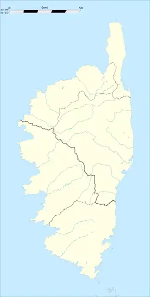 Monte | |
| Coordinates: 42°28′03″N 9°23′28″E / 42.4675°N 9.3911°E | |
| Country | France |
| Region | Corsica |
| Department | Haute-Corse |
| Arrondissement | Corte |
| Canton | Golo-Morosaglia |
| Government | |
| • Mayor (2020–2026) | Jean François Mattei[1] |
| Area 1 | 14.8 km2 (5.7 sq mi) |
| Population | 630 |
| • Density | 43/km2 (110/sq mi) |
| Time zone | UTC+01:00 (CET) |
| • Summer (DST) | UTC+02:00 (CEST) |
| INSEE/Postal code | 2B166 /20290 |
| Elevation | 18–1,218 m (59–3,996 ft) (avg. 640 m or 2,100 ft) |
| 1 French Land Register data, which excludes lakes, ponds, glaciers > 1 km2 (0.386 sq mi or 247 acres) and river estuaries. | |
Monte is a commune in the Haute-Corse department of France on the island of Corsica. Since 2015, it is part of the canton of Golo-Morosaglia.[3]
Geography
Monte is at the foot of Monte Sant'Angelu, 18 kilometres (11 mi) from Borgo.
Population
| Year | Pop. | ±% |
|---|---|---|
| 1962 | 196 | — |
| 1968 | 207 | +5.6% |
| 1975 | 189 | −8.7% |
| 1982 | 241 | +27.5% |
| 1990 | 303 | +25.7% |
| 1999 | 444 | +46.5% |
| 2008 | 539 | +21.4% |
See also
References
- ↑ "Répertoire national des élus: les maires". data.gouv.fr, Plateforme ouverte des données publiques françaises (in French). 2 December 2020.
- ↑ "Populations légales 2021". The National Institute of Statistics and Economic Studies. 28 December 2023.
- ↑ "Décret n° 2014-255 du 26 février 2014 portant délimitation des cantons dans le département de la Haute-Corse | Legifrance". Retrieved 31 May 2017.
Wikimedia Commons has media related to Monte (Haute-Corse).
This article is issued from Wikipedia. The text is licensed under Creative Commons - Attribution - Sharealike. Additional terms may apply for the media files.