Montero | |
|---|---|
City & Municipality | |
 | |
 Flag  Seal | |
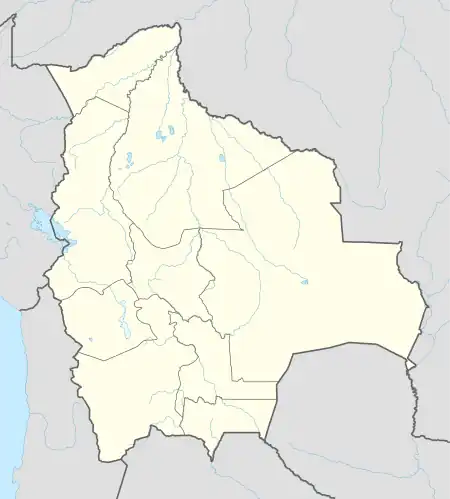 Montero Location in Bolivia | |
| Coordinates: 17°20′32″S 63°15′21″W / 17.34222°S 63.25583°W | |
| Country | |
| Department | |
| Province | Obispo Santistevan Province |
| Municipality | Montero Municipality |
| Named | December 4, 1912 |
| Area | |
| • City & Municipality | 280 km2 (110 sq mi) |
| Elevation | 357 m (1,171 ft) |
| Population (2020 Census) | |
| • Urban | 137,931 |
| Time zone | UTC-4 (BOT) |
| Postal code | 31001 |
| Area code | +591 4 |
| Website | Official website |
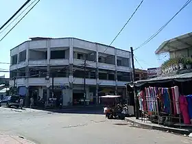
Montero is a city and a municipality in Santa Cruz, Bolivia, about 50 km north of Santa Cruz de la Sierra. Montero had a population of 137,931 as of 2020 and has experienced growth in recent decades, becoming an important city in the region.[1]
Montero has an elevation of about 300 meters above sea level and an average temperature of 23 °C (73.4 °F). The city is predominantly agricultural, producing soybeans, cotton, corn, and rice.
References
- ↑ "World Gazetteer". Archived from the original on 2013-01-11.
This article is issued from Wikipedia. The text is licensed under Creative Commons - Attribution - Sharealike. Additional terms may apply for the media files.