| Mormon Peak | |
|---|---|
 Mormon Peak | |
| Highest point | |
| Elevation | 7,414 ft (2,260 m) NAVD 88[1] |
| Prominence | 4,014 ft (1,223 m)[2] |
| Coordinates | 36°58′27″N 114°30′02″W / 36.974093°N 114.50059°W[1] |
| Geography | |
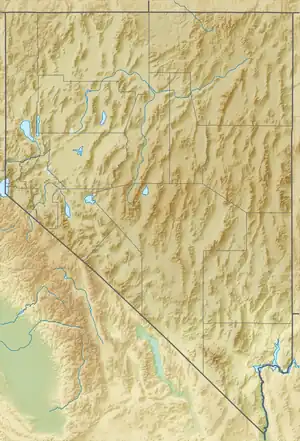
| Location | Lincoln County, Nevada, U.S. |
| Parent range | Mormon Mountains |
| Topo map | USGS Moapa Peak NW |
Mormon Peak is the highest mountain in the Mormon Mountains of Lincoln County in Nevada, United States.[3] It is the most topographically prominent peak in Lincoln County and ranks twenty-fourth among the most topographically prominent peaks in Nevada.[4] The peak is on public land administered by the Bureau of Land Management and thus has no access restrictions.[5]
References
- 1 2 "North Mormon". NGS Data Sheet. National Geodetic Survey, National Oceanic and Atmospheric Administration, United States Department of Commerce. Retrieved 2015-01-22.
- ↑ "Mormon Peak, Nevada". Peakbagger.com. Retrieved 2015-01-22.
- ↑ "Mormon Peak on Peakery".
- ↑ "Nevada Peaks with 2000 feet of Prominence". Peakbagger.com. Retrieved 2015-01-22.
- ↑ "Mormon Peak". SummitPost.org. Retrieved 2015-01-22.
See also
This article is issued from Wikipedia. The text is licensed under Creative Commons - Attribution - Sharealike. Additional terms may apply for the media files.