Mount Aerial | |
|---|---|
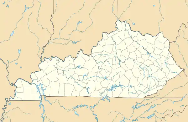 Mount Aerial Location within the state of Kentucky  Mount Aerial Mount Aerial (the United States) | |
| Coordinates: 36°45′12″N 86°23′34″W / 36.75333°N 86.39278°W | |
| Country | |
| State | |
| County | Allen |
| Elevation | 689 ft (210 m) |
| Time zone | UTC–6 (CST) |
| • Summer (DST) | UTC–5 (CDT) |
| ZIP codes | 42164 |
| GNIS feature ID | 508638[1] |
Mount Aerial is a rural unincorporated community in western Allen County, Kentucky, United States.[1][2]
References
- 1 2 "Mount Aerial". Geographic Names Information System. United States Geological Survey, United States Department of the Interior.
- ↑ "Mount Aerial Populated Place Profile / Allen County, Kentucky Data". kentucky.hometownlocator.com. Retrieved February 19, 2019.
Municipalities and communities of Allen County, Kentucky, United States | ||
|---|---|---|
| City |  Location of Allen County, Kentucky | |
| Unincorporated communities | ||
This article is issued from Wikipedia. The text is licensed under Creative Commons - Attribution - Sharealike. Additional terms may apply for the media files.