| Boyuk Kirs | |
|---|---|
 | |
| Highest point | |
| Elevation | 2,725 m (8,940 ft) |
| Coordinates | 39°38′51″N 46°44′45″E / 39.64750°N 46.74583°E |
| Naming | |
| Native name | Böyük Kirs dağı (Azerbaijani) |
| Geography | |
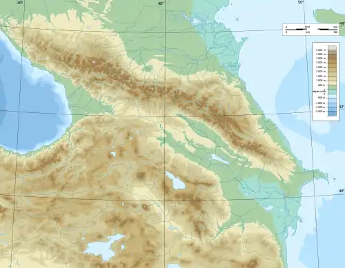 Boyuk Kirs Location of the mountain 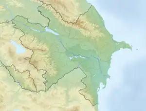 Boyuk Kirs Boyuk Kirs (Azerbaijan) | |
| Country | |
Mount Boyuk Kirs (Azerbaijani: Böyük Kirs dağı — Mount Big Kirs) is one of the highest peak in the Karabakh Range of the Lesser Caucasus in Azerbaijan at an altitude of 2,725 metres[1]. Before the 2020 Nagorno-Karabakh War, it was the highest mountain of the breakaway Republic of Arstakh.[2][3] It forms the border between the Khojavend and Shusha districts of Azerbaijan[4].
Toponymy
The mount is named so as to distinguish it from the oronym Kichik Kirs. Kirs is used as a toponymic term meaning "swollen hill, steep mountain"[1].
Gallery
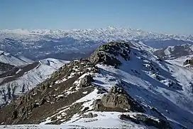
 Mount Kirs as seen from the Shusha District during winter.
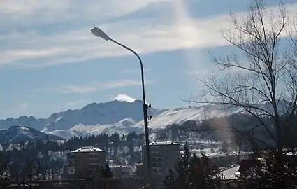 Mount Kirs as seen from the city of Shusha
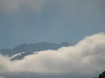
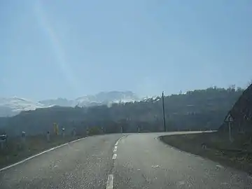 Mount Kirs as seen from a road
References
- 1 2 AZƏRBAYCAN TOPONİMLƏRİNİN ENSİKLOPEDİK LÜĞƏTİ (PDF) (in Azerbaijani). Vol. BİRİNCİ CİLD. BAKI: ŞƏRQ-QƏRB. 2007. p. 152. ISBN İSBN 978-9952-34-155-3.
{{cite book}}: Check|isbn=value: invalid character (help); Invalid|display-editors=Redaktor: Rübabə Əliyeva. Tərtibçilər: Rübabə Əliyeva, Qara Məşədiyev, Etibar İnanc, Tünzalə Baxşıyeva, Şəms Qocayeva, İsmayıl Məmmədov, Fikrət Xalıqov. Rəyçilər: İsmayıl Məmmədov, Fikrət Xalıqov.(help) - ↑ "World atlas". 26 October 2017. Archived from the original on 23 October 2021.
- ↑ "Wikiloc". Archived from the original on 23 October 2021.
- ↑ "BÖYÜK KİRS". Azərbaycan Milli Ensiklopediyası.
This article is issued from Wikipedia. The text is licensed under Creative Commons - Attribution - Sharealike. Additional terms may apply for the media files.