| Myrtle Creek Victoria | |
|---|---|
 Myrtle Creek | |
| Coordinates | 36°55′39″S 144°23′50″E / 36.92750°S 144.39722°E |
| Population | 67 (2016 census)[1] |
| Postcode(s) | 3551[2] |
| LGA(s) | |
| State electorate(s) | Bendigo East[3] |
| Federal division(s) | Bendigo[4] |
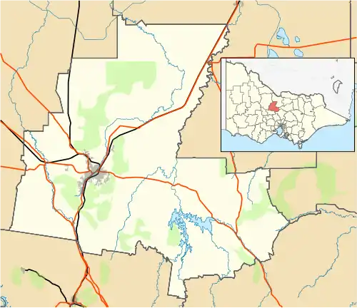
Myrtle Creek is a locality in the City of Greater Bendigo and Mount Alexander Shire, Victoria.
References
- ↑ "2016 Census QuickStats: Myrtle Creek (Vic.)". quickstats.censusdata.abs.gov.au. Archived from the original on 3 March 2022. Retrieved 3 March 2022.
- ↑ "Myrtle Creek Postcode". auspost.com.au. Archived from the original on 12 January 2020. Retrieved 3 March 2022.
- ↑ "Which boundaries cover where I live?". www.vec.vic.gov.au. Archived from the original on 28 January 2022. Retrieved 3 March 2022.
- ↑ "Localities". electorate.aec.gov.au. Archived from the original on 3 March 2022. Retrieved 3 March 2022.
Localities in the Mount Alexander Shire | ||
|---|---|---|
| Town | ||
| Locality |
| |
^ - Territory divided with another LGA | ||
This article is issued from Wikipedia. The text is licensed under Creative Commons - Attribution - Sharealike. Additional terms may apply for the media files.