Nagireddy palli | |
|---|---|
village | |
 | |
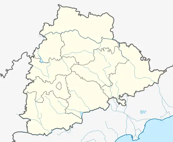 Nagireddy palli Location in Telangana, India  Nagireddy palli Nagireddy palli (India) | |
| Coordinates: 17°25′22″N 78°56′25″E / 17.4228288°N 78.9403185°E | |
| Country | |
| State | Telangana |
| District | Nalgonda |
| Area | |
| • Total | 2,000 km2 (800 sq mi) |
| • Rank | 5 |
| Population | |
| • Total | 17,000 |
| • Rank | 9 |
| • Density | 8.5/km2 (22/sq mi) |
| Languages | |
| • Official | Telugu |
| Time zone | UTC+5:30 (IST) |
| PIN | 508285 |
| Telephone code | 08720 |
| Vehicle registration | TS |
| Nearest city | Hyderabad |
| Lok Sabha constituency | Bhongiri |
| Vidhan Sabha constituency | Bhongiri |
| Website | www.allmarriagehalls.com |
| Industrial area.. | |
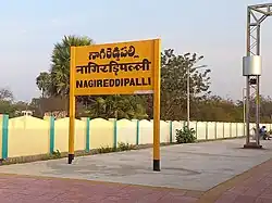
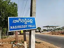
Nagireddy palli is a village in Nalgonda district of Telangana, India.[1] It falls under Bhongir mandal.
Nagireddypally is a village in Nalgonda district of Telangana
References
- ↑ "Nagireddipally Village, Bhuvanagiri Mandal , Nalgonda District". Retrieved 1 October 2014.
This article is issued from Wikipedia. The text is licensed under Creative Commons - Attribution - Sharealike. Additional terms may apply for the media files.