Nakpanduri | |
|---|---|
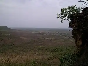 Cliffs near Nakpanduri, Northern region | |
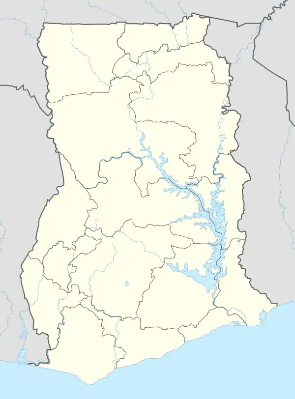 Nakpanduri Location of Nakpanduri in Northern region | |
| Coordinates: 10°37′58″N 0°10′58″W / 10.63278°N 0.18278°W | |
| Country | Ghana |
| Region | Northern Region |
| District | Bunkpurugu-Yunyoo District |
| Elevation | 1,362 ft (415 m) |
| Population (2013) | |
| • Total | — |
| Time zone | GMT |
| • Summer (DST) | GMT |
Nakpanduri is a village in Bunkpurugu-Nakpanduri District, a district in the North East Region of north Ghana adjacent to the border with Togo.[1]
culture
References
- ↑ Bunkpurugu-Yunyoo district Archived 2013-06-14 at the Wayback Machine
10°37′58″N 0°10′58″W / 10.63278°N 0.18278°W
This article is issued from Wikipedia. The text is licensed under Creative Commons - Attribution - Sharealike. Additional terms may apply for the media files.