Olacapato | |
|---|---|
Municipality and village | |
.png.webp) | |
 Olacapato | |
| Coordinates: 24°06′50″S 66°43′07″W / 24.11389°S 66.71861°W | |
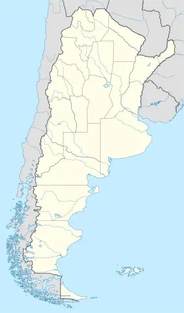
| Country | |
| Province | |
| Department | Los Andes |
| Elevation | 4,090 m (13,420 ft) |
| Population (2001) | |
| • Total | 186 |
| Postal code | A4413 |
Olacapato is a village and rural municipality in Salta Province in northwestern Argentina.[1] Olacapato is one of the highest towns in Argentina (4,090 m). The previous census of 2001 indicated a population of 186 inhabitants (INDEC, 2001), appearing as a rural dispersed population.
Climate
| Climate data for Olacapato (1950–1990) | |||||||||||||
|---|---|---|---|---|---|---|---|---|---|---|---|---|---|
| Month | Jan | Feb | Mar | Apr | May | Jun | Jul | Aug | Sep | Oct | Nov | Dec | Year |
| Daily mean °C (°F) | 10.8 (51.4) |
10.7 (51.3) |
9.9 (49.8) |
7.5 (45.5) |
4.2 (39.6) |
2.2 (36.0) |
1.6 (34.9) |
3.9 (39.0) |
5.9 (42.6) |
8.2 (46.8) |
9.9 (49.8) |
10.6 (51.1) |
7.1 (44.8) |
| Average precipitation mm (inches) | 30 (1.2) |
20 (0.8) |
4 (0.2) |
0 (0) |
0 (0) |
1 (0.0) |
0 (0) |
0 (0) |
0 (0) |
0 (0) |
0 (0) |
9 (0.4) |
64 (2.5) |
| Source: Instituto Nacional de Tecnología Agropecuaria[2] | |||||||||||||
See also
References
- ↑ Ministerio del Interior (in Spanish)
- ↑ "Estadísticos de Precipitaciones y Balance Hídrico". Las Precipitaciones del Noroeste Argentino (in Spanish). Instituto Nacional de Tecnología Agropecuaria. Retrieved 3 April 2016.
This article is issued from Wikipedia. The text is licensed under Creative Commons - Attribution - Sharealike. Additional terms may apply for the media files.