Onslunda | |
|---|---|
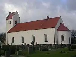 Onslunda Church | |
 Onslunda 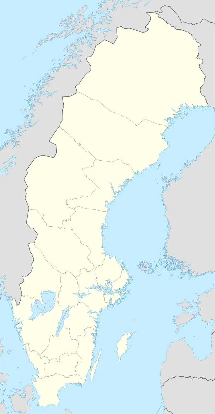 Onslunda | |
| Coordinates: 55°36′N 14°03′E / 55.600°N 14.050°E | |
| Country | Sweden |
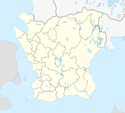
| Province | Skåne |
| County | Skåne County |
| Municipality | Tomelilla Municipality |
| Area | |
| • Land | 19.7 km2 (7.6 sq mi) |
| Highest elevation | 107 m (351 ft) |
| Population (31 December 2010)[1] | |
| • Total | 490 |
| • Density | 983/km2 (2,550/sq mi) |
| Time zone | UTC+1 (CET) |
| • Summer (DST) | UTC+2 (CEST) |
| GeoName | GeoName |
Onslunda is a locality situated in Tomelilla Municipality, Skåne County, Sweden with 490 inhabitants in 2010.[1] It lies around 10 km north-east of Tomelilla.
Population
| Year | Population |
| 1950 | 541 |
| 1955 | 522 |
| 1960 | 483 |
| 1965 | 453 |
| 1970 | 435 |
| 1975 | 388 |
| 1980 | 379 |
| 1985 | 377 |
| 1990 | 375 |
| 1995 | 398 |
| 2000 | 418 |
| 2015 | 453 |
References
- 1 2 3 "Tätorternas landareal, folkmängd och invånare per km2 2005 och 2010" (in Swedish). Statistics Sweden. 14 December 2011. Archived from the original on 27 January 2012. Retrieved 10 January 2012.
- ↑ "Landareal per tätort, folkmängd och invånare per kvadratkilometer. Vart femte år 1960 - 2016". Statistiska centralbyrån. Archived from the original on 13 June 2017. Retrieved 18 May 2017.
- ↑ "Folkräkningen den 31 december 1950, totala räkningen folkmängd efter ålder och kön i kommuner, församlingar och tätorter, statistiska centralbyrån 1954" (PDF). Archived from the original (PDF) on 12 June 2011. Retrieved 1 February 2014.
See also
- "Land- och vattenarealer per församling 2000-01-01". Statistics Sweden. Retrieved 14 August 2020.
This article is issued from Wikipedia. The text is licensed under Creative Commons - Attribution - Sharealike. Additional terms may apply for the media files.