Pandhurli | |
|---|---|
village | |
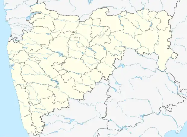 Pandhurli Location in Maharashtra, India  Pandhurli Pandhurli (India) | |
| Coordinates: 19°49′45″N 73°51′17″E / 19.829052°N 73.854745°E | |
| Country | |
| State | Maharashtra |
| Talukas | Sinnar |
| District | Nashik |
| Elevation | 651 m (2,136 ft) |
| Population (2011) | |
| • Total | 4,500 |
| Languages | |
| • Official | Marathi |
| Time zone | UTC+5:30 (IST) |
| Telephone code | 02551 |
| Vehicle registration | MH-15 |
Pandhurli is a village and a municipal council in Sinnar taluka of Nashik district in the Indian state of Maharashtra.
Geography
Pandhurli (Marathi-पांढुर्ली) is located at 19°49′45″N 73°51′17″E / 19.829052°N 73.854745°E It has an average elevation of 562 metres (1843 feet). It lies 23 km southeast of Nashik city on the Nagpur–Aurangabad–Mumbai Highway.
Demographics
As of 2001 India census,[1] Pandhurli had a population of 4,500.
References
- ↑ "Census of India 2001: Data from the 2001 Census, including cities, villages and towns (Provisional)". Census Commission of India. Archived from the original on 16 June 2004. Retrieved 1 November 2008.
Nashik district topics | ||
|---|---|---|
| Cities and towns | .svg.png.webp) | |
| Villages | ||
| Rivers and lakes | ||
| Education | ||
| Lok Sabha constituencies | ||
| Vidhan Sabha constituencies | ||
| Major Highways | ||
This article is issued from Wikipedia. The text is licensed under Creative Commons - Attribution - Sharealike. Additional terms may apply for the media files.