Pang Hseng
ပန်ဆိုင်းမြို့ Kyu Koke | |
|---|---|
Town | |
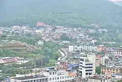 Skyline of Wanding - Pang Hseng, the town of Pang Hseng is on the upper left of the image. | |
 | |
| Coordinates: 24°04′32″N 98°03′44″E / 24.07548°N 98.062291°E | |
| Country | |
| State | |
| District | Mu Se District |
| Township | Mu Se Township |
| Elevation | 2,785 ft (849 m) |
| Population | |
| • Town | 22,950 |
| • Urban | 9,530 |
| • Rural | 13,420 |
| Time zone | UTC+6:30 (MMT) |
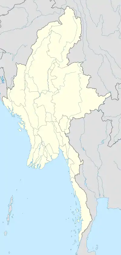
Pang Hseng, also known as Pan Saing, Kyu Koke and Kyu-hkök,[3] is a town in Mu Se Township, Mu Se District, northern Shan State, Myanmar.[4]
On 2 November 2023 it was reported that the town had come fully under control of the Brotherhood Alliance during the ongoing civil war.[5]
Geography
Pang Hseng lies 25 km west of Mong Ko (Monekoe) by the border with China, the nearest town being Wandingzhen (Wanting) to the north across the river.[6] There is a border checkpoint in the town.[7]
Further reading
References
- ↑ GoogleEarth
- ↑ The 2014 Myanmar Population and Housing Census Highlights of the Main Results Census Report Volume 2 – A. Department of Population Ministry of Immigration and Population. 2015. p. 64.
- ↑ "Kyu-hkök". Mapcarta. Retrieved 20 May 2016.
- ↑ "District Map - Shan State (North)" (PDF). Myanmar Information Management Unit. September 2016. Archived from the original (PDF) on 17 March 2017. Retrieved 17 March 2017.
- ↑ "Ethnic armed alliance captures 3 cities on China-Myanmar border". Radio Free Asia. Retrieved 2023-11-02.
- ↑ Wandingzhen, China - Geographical Names
- ↑ "Restricted Area in Myanmar (Burma)". Archived from the original on 2016-08-21. Retrieved 2016-05-22.
External links
This article is issued from Wikipedia. The text is licensed under Creative Commons - Attribution - Sharealike. Additional terms may apply for the media files.