Parsora | |
|---|---|
village | |
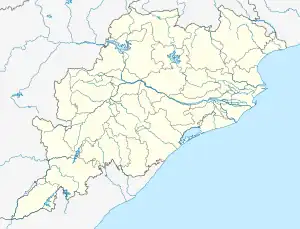 Parsora Location in Odisha, India  Parsora Parsora (India) | |
| Coordinates: 21°57′0″N 85°36′0″E / 21.95000°N 85.60000°E | |
| Country | |
| State | Odisha |
| District | Kendujhar |
| Elevation | 386 m (1,266 ft) |
| Languages | |
| • Official | Odia |
| Time zone | UTC+5:30 (IST) |
| Vehicle registration | OD 09 |
| Website | odisha |
Parsora is a town in Kendujhar District, Odisha, India.
Geography
It is located at 21°57′0″N 85°36′0″E / 21.95000°N 85.60000°E at an elevation of 386 m above MSL.[1]
Location
National Highway 215 passes through Parsora. Nearest airport is Biju Patnaik Airport at Bhubaneswar.
References
- ↑ http://www.fallingrain.com/world/IN/21/Parsora.html Map and weather of Parsora
External links
This article is issued from Wikipedia. The text is licensed under Creative Commons - Attribution - Sharealike. Additional terms may apply for the media files.