Paz de Ariporo Airport | |||||||||||
|---|---|---|---|---|---|---|---|---|---|---|---|
| Summary | |||||||||||
| Airport type | Public | ||||||||||
| Serves | Paz de Ariporo, Colombia | ||||||||||
| Elevation AMSL | 900 ft / 274 m | ||||||||||
| Coordinates | 5°52′30″N 71°53′15″W / 5.87500°N 71.88750°W | ||||||||||
| Map | |||||||||||
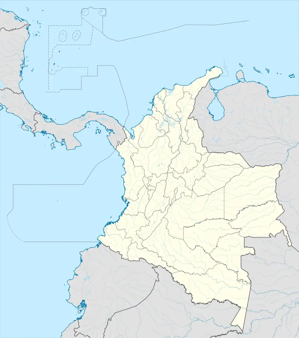 PZA Location of the airport in Colombia | |||||||||||
| Runways | |||||||||||
| |||||||||||
Paz de Ariporo Airport (IATA: PZA, ICAO: SKPZ) is an airport serving the town of Paz de Ariporo in the Casanare Department of Colombia. The runway is adjacent to the eastern edge of the town.
See also
References
- ↑ Airport information for PZA at Great Circle Mapper.
- ↑ Google Maps - Paz de Ariporo
External links
- OpenStreetMap - Paz de Ariporo
- OurAirports - Paz de Ariporo
- SkyVector - Paz de Ariporo
- Paz de Ariporo Airport
This article is issued from Wikipedia. The text is licensed under Creative Commons - Attribution - Sharealike. Additional terms may apply for the media files.