Peach Creek, West Virginia | |
|---|---|
 Peach Creek  Peach Creek | |
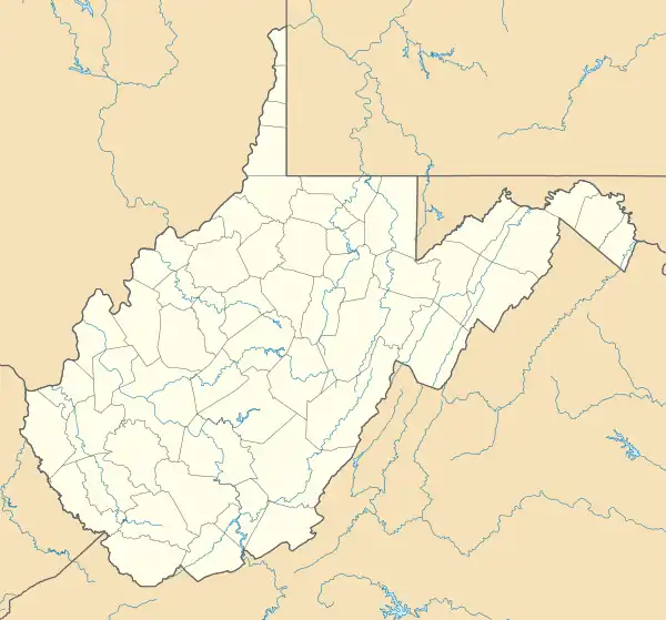
| Coordinates: 37°52′28″N 81°59′05″W / 37.87444°N 81.98472°W | |
| Country | United States |
| State | West Virginia |
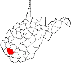
| County | Logan |
| Area | |
| • Total | 0.25 sq mi (0.66 km2) |
| • Land | 0.25 sq mi (0.64 km2) |
| • Water | 0.008 sq mi (0.02 km2) |
| Elevation | 673 ft (205 m) |
| Time zone | UTC-5 (Eastern (EST)) |
| • Summer (DST) | UTC-4 (EDT) |
| ZIP code | 25639 |
| Area code(s) | 304 & 681 |
| GNIS feature ID | 1544669[2] |
| FIPS code | 54-62428 |
Peach Creek is an unincorporated community and census-designated place (CDP) in Logan County, West Virginia, United States. Peach Creek is located on the east bank of the Guyandotte River across from West Logan. Peach Creek has a post office with ZIP code 25639.[3] The community was first listed as a CDP prior to the 2020 census.
The community took its name from Peach Creek,[4] which flows through the center of town.
References
- ↑ "2020 U.S. Gazetteer Files – West Virginia". United States Census Bureau. Retrieved March 17, 2021.
- ↑ U.S. Geological Survey Geographic Names Information System: Peach Creek, West Virginia
- ↑ ZIP Code Lookup
- ↑ Kenny, Hamill (1945). West Virginia Place Names: Their Origin and Meaning, Including the Nomenclature of the Streams and Mountains. Piedmont, WV: The Place Name Press. p. 477.
This article is issued from Wikipedia. The text is licensed under Creative Commons - Attribution - Sharealike. Additional terms may apply for the media files.