Penrose, Utah | |
|---|---|
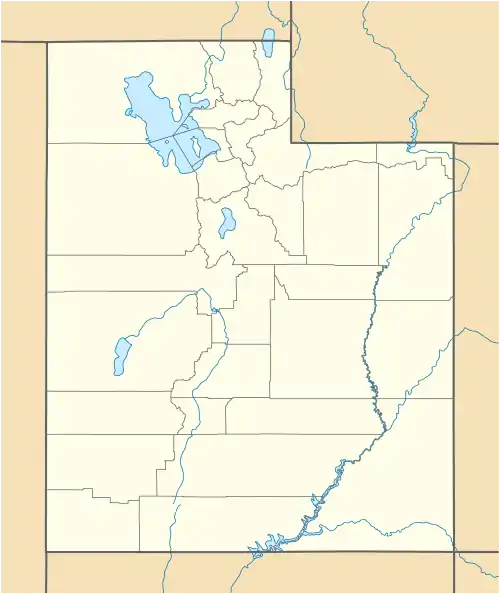 Penrose Location within the state of Utah | |
| Coordinates: 41°39′03″N 112°18′06″W / 41.65083°N 112.30167°W | |
| Country | United States |
| State | Utah |
| County | Box Elder |
| Settled | 1890 |
| Founded by | C. S. Rowher |
| Named for | Charles W. Penrose |
| Elevation | 4,268 ft (1,301 m) |
| Time zone | UTC-7 (Mountain (MST)) |
| • Summer (DST) | UTC-6 (MDT) |
| ZIP code | 84337 |
| Area code | 435 |
| GNIS feature ID | 1437656[1] |
Penrose is an unincorporated farming community in eastern Box Elder County, Utah, United States.[1]
Description
| Census | Pop. | Note | %± |
|---|---|---|---|
| 1920 | 220 | — | |
| 1930 | 155 | −29.5% | |
| 1940 | 159 | 2.6% | |
| 1950 | 169 | 6.3% | |
| Source: U.S. Census Bureau[2] | |||
Penrose is located along the last 7 miles (11 km) of Utah State Route 102, approximately 3 miles (4.8 km) south of Thatcher.
The community was named for Charles W. Penrose, an apostle for the Church of Jesus Christ of Latter-day Saints.[3]
The first permanent settler to the Penrose area was C.S. Rowher, in 1890. He, along with others, farmed beets, wheat, corn and hay.[4]
See also
References
- 1 2 3 "Penrose". Geographic Names Information System. United States Geological Survey, United States Department of the Interior.
- ↑ "Census of Population and Housing". census.gov. United States Census Bureau. Retrieved November 7, 2011.
- ↑ Genealogical Society of Utah (1919). The Utah Genealogical and Historical Magazine. Salt Lake City, Utah: Genealogical Society of Utah. p. 172.
- ↑ Box Elder County website
External links
![]() Media related to Penrose, Utah at Wikimedia Commons
Media related to Penrose, Utah at Wikimedia Commons
Municipalities and communities of Box Elder County, Utah, United States | ||
|---|---|---|
| Cities | 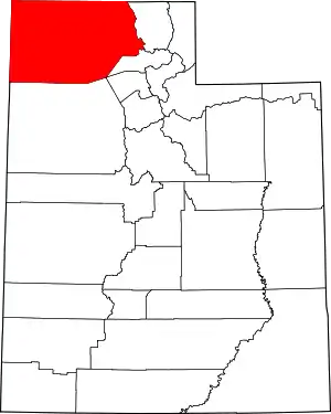 Map of Utah highlighting Box Elder County | |
| Towns | ||
| CDPs | ||
| Unincorporated areas | ||
| Ghost towns | ||
| Indian reservation | ||
This article is issued from Wikipedia. The text is licensed under Creative Commons - Attribution - Sharealike. Additional terms may apply for the media files.