Perthshire, Mississippi | |
|---|---|
 | |
  Perthshire, Mississippi  Perthshire, Mississippi | |
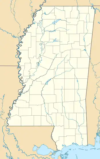
| Coordinates: 33°58′38″N 90°54′44″W / 33.97722°N 90.91222°W | |
| Country | United States |
| State | Mississippi |
| County | Bolivar |
| Elevation | 135 ft (41 m) |
| Time zone | UTC-6 (Central (CST)) |
| • Summer (DST) | UTC-5 (CDT) |
| ZIP code | 38746 |
| Area code | 662 |
| GNIS feature ID | 675639[1] |
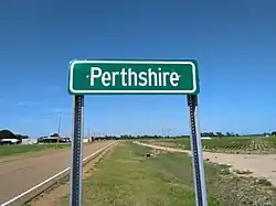
Perthshire is an unincorporated community located in Bolivar County, Mississippi, United States along Mississippi Highway 1. Perthshire is approximately 5 miles (8.0 km) south of Deeson and approximately 3 miles (4.8 km) north of Gunnison. Perthshire is located on the Riverside Division of the former Yazoo and Mississippi Valley Railroad.[2] Perthshire was once home to six general stores.[3]
A post office operated under the name Perthshire from 1889 to 1963.[4]
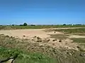
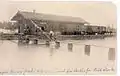 Box cars at the Perthshire depot were used as livestock stables during flooding in 1897
 Homes in the Perthshire community
References
- ↑ U.S. Geological Survey Geographic Names Information System: Perthshire, Mississippi
- ↑ Rowland, Dunbar (1907). Mississippi: Comprising Sketches of Counties, Towns, Events, Institutions, and Persons, Arranged in Cyclopedic Form. Vol. 2. Southern Historical Publishing Association. p. 410.
- ↑ Howe, Tony. "Perthshire, Mississippi". Mississippi Rails. Retrieved May 5, 2020.
- ↑ "Bolivar County". Jim Forte Postal History. Retrieved May 5, 2020.

Wikimedia Commons has media related to Perthshire, Mississippi.
Municipalities and communities of Bolivar County, Mississippi, United States | ||
|---|---|---|
| Cities | 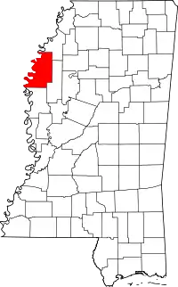 Map of Mississippi highlighting Bolivar County | |
| Towns | ||
| CDPs | ||
| Other communities | ||
| Ghost towns | ||
| Footnotes | ‡This populated place also has portions in an adjacent county or counties | |
This article is issued from Wikipedia. The text is licensed under Creative Commons - Attribution - Sharealike. Additional terms may apply for the media files.