Pidhorodne
Підгородне | |
|---|---|
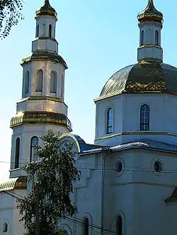 St John's Church in Pidhorodne | |
 Flag  Coat of arms | |
 Pidhorodne 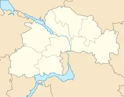 Pidhorodne | |
| Coordinates: 48°34′30″N 35°06′08″E / 48.57500°N 35.10222°E | |
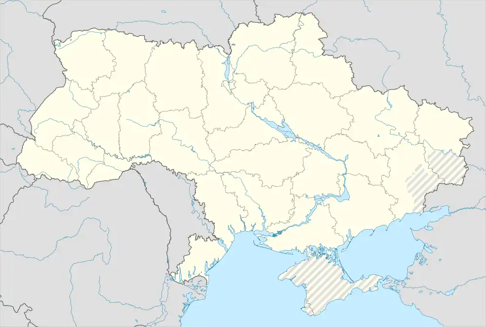
| Country Oblast Raion | Ukraine Dnipropetrovsk Oblast Dnipro Raion |
| Founded | 17th century |
| City rights | 1981 |
| Government | |
| • Mayor | Gorb Vor |
| Area | |
| • Total | 355 km2 (137 sq mi) |
| Elevation | 56 m (184 ft) |
| Population (2022) | |
| • Total | 19,138 |
| • Density | 500/km2 (1,000/sq mi) |
| Postal code | 52001-52004 |
| Area code | +380-562(2) |
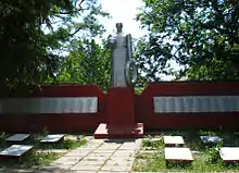
WW2 monument in Pidhorodne
Pidhorodne (Ukrainian: Підгородне, IPA: [pidɦoˈrɔdne]) is a city in Dnipro Raion, Dnipropetrovsk Oblast, Ukraine. It hosts the administration of Pidhorodne urban hromada, one of the hromadas of Ukraine.[1] Population: 19,138 (2022 estimate).[2] In 2001, the population was 17,763.
The populated place is known since 1600 as a "wintering place" (zymivnyk) of Cossacks from Samar and carried a name Bohorodytski Khutory (hamlets of Theotokos).
Soon after the liquidation of the Zaporozhian Sich, in 1778 those hamlets were united into a "state military sloboda" of Pidhorodne being located near the newly established Yekaterinoslav (before being moved to the right bank of Dnieper).
References
- ↑ "Подгородненская городская громада" (in Russian). Портал об'єднаних громад України.
- ↑ Чисельність наявного населення України на 1 січня 2022 [Number of Present Population of Ukraine, as of January 1, 2022] (PDF) (in Ukrainian and English). Kyiv: State Statistics Service of Ukraine. Archived (PDF) from the original on 4 July 2022.
This article is issued from Wikipedia. The text is licensed under Creative Commons - Attribution - Sharealike. Additional terms may apply for the media files.