Pimplas | |
|---|---|
village | |
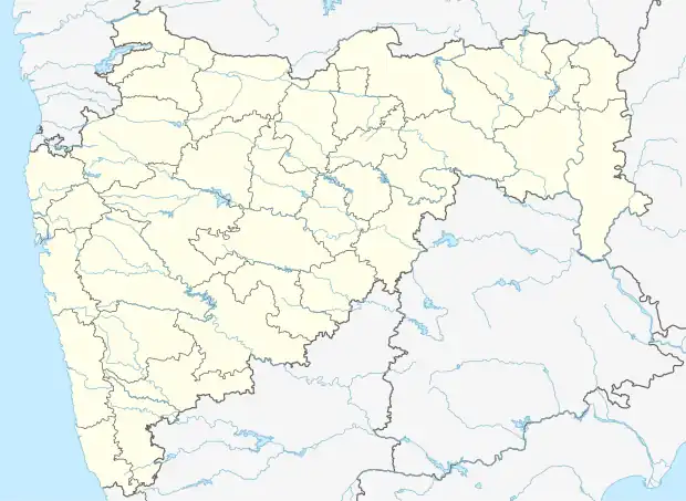 Pimplas Location in Maharashtra, India | |
| Coordinates: 19°42′10″N 74°28′16″E / 19.70278°N 74.47111°E | |
| Country | |
| State | Maharashtra |
| District | Ahmednagar |
| Taluka | Rahata |
| Government | |
| • Type | Panchayati raj |
| • Body | Grampanchayat |
| Population (2011) | |
| • Total | 3,577 |
| Languages | |
| • Official | Marathi |
| Time zone | UTC+5:30 (IST) |
| PIN | 423107 |
| Telephone code | 02423 |
| Vehicle registration | MH-17 |
Pimplas is a village in Rahata taluka of Ahmednagar district in the Indian state of Maharashtra. It is located close to Rahata.[1]
Population
As per 2011 census, population of village is 3,577, of which 1,830 are males and 1,747 are females.[2]
Economy
Main occupation of village is agriculture and allied work.
Transport
Road
Village is located near Nagar - Manmad highway. It is connected to nearby villages by rural roads.
Rail
Sainagar Shirdi railway station is the nearest railway station to a village.
Air
Shirdi Airport is the nearest airport to a village.
See also
References
- ↑ MRSAC. Village Map (PDF) (Map). Rahata Taluka: Maharashtra Remote Sensing Applications Centre. Archived from the original (PDF) on 24 November 2018. Retrieved 25 November 2018.
- ↑ "Census of India 2011". Census of India. Registrar General & Census Commissioner. Retrieved 25 November 2018.
This article is issued from Wikipedia. The text is licensed under Creative Commons - Attribution - Sharealike. Additional terms may apply for the media files.