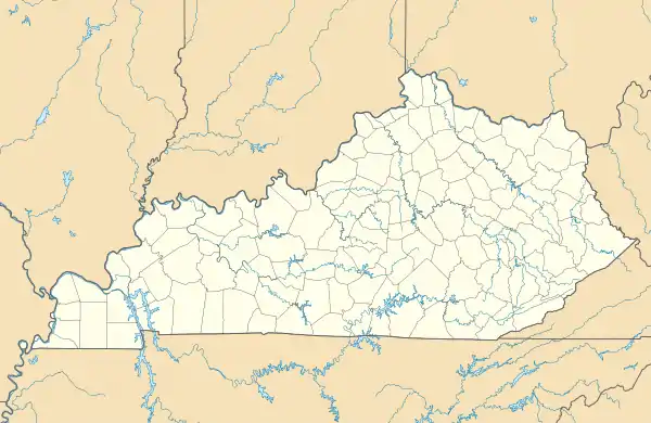
Pine Top, Kentucky
Omaha | |
|---|---|
 Pine Top  Pine Top | |
| Coordinates: 37°16′21″N 82°52′57″W / 37.27250°N 82.88250°W | |
| Country | United States |
| State | Kentucky |
| County | Knott |
| Elevation | 1,132 ft (345 m) |
| Time zone | UTC-5 (Eastern (EST)) |
| • Summer (DST) | UTC-4 (EDT) |
| ZIP codes | 41843 |
| GNIS feature ID | 508824[1] |
Pine Top is an unincorporated community within Knott County, Kentucky, United States.
References
Municipalities and communities of Knott County, Kentucky, United States | ||
|---|---|---|
| Cities |
| 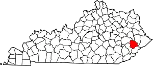 Location of Knott County, Kentucky |
| Unincorporated communities | ||
| post offices (and the creeks they are on) |
| |
| Footnotes | ‡This populated place also has portions in an adjacent county or counties. | |
This article is issued from Wikipedia. The text is licensed under Creative Commons - Attribution - Sharealike. Additional terms may apply for the media files.