Piparpanti
Piparpānti | |
|---|---|
Village | |
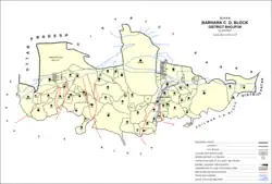 Map of Piparpanti (#246824) in Barhara block | |
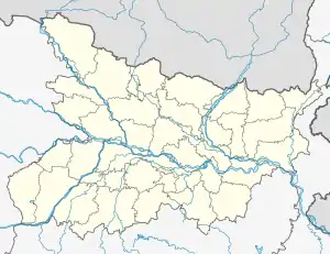 Piparpanti Location in Bihar, India  Piparpanti Piparpanti (India) | |
| Coordinates: 25°39′29″N 84°33′02″E / 25.65815°N 84.55064°E[1] | |
| Country | India |
| State | Bihar |
| District | Bhojpur |
| Area | |
| • Total | 0.671 km2 (0.259 sq mi) |
| Elevation | 59 m (194 ft) |
| Population (2011) | |
| • Total | 3,697[2] |
| Languages | |
| • Official | Bhojpuri, Hindi |
| Time zone | UTC+5:30 (IST) |
Piparpanti is a village in the western part of Barhara block of Bhojpur district in Bihar, India. As of 2011, its population was 3,697, in 505 households.[2]
References
- 1 2 "Geonames.org. Piparpānti". Retrieved 18 August 2020.
- 1 2 3 "Census of India 2011: Bihar District Census Handbook - Bhojpur, Part A (Village and Town Directory)". Census 2011 India. pp. 308–347. Retrieved 18 August 2020.
This article is issued from Wikipedia. The text is licensed under Creative Commons - Attribution - Sharealike. Additional terms may apply for the media files.