| Piz Laschadurella | |
|---|---|
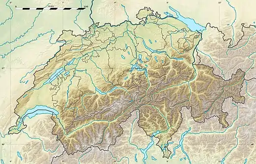 Piz Laschadurella Location in Switzerland | |
| Highest point | |
| Elevation | 3,046 m (9,993 ft)[1] |
| Prominence | 206 m (676 ft)[2] |
| Parent peak | Piz Plavna Dadaint |
| Coordinates | 46°41′53.5″N 10°11′45.5″E / 46.698194°N 10.195972°E |
| Geography | |
| Location | Graubünden, Switzerland |
| Parent range | Sesvenna Range |
Piz Laschadurella is a mountain in the Sesvenna Range of the Alps, located east of Zernez in the canton of Graubünden. Its southern side is part of the Swiss National Park.
References
- ↑ "Piz Laschadurella". jo-albis.ch. Archived from the original on 2011-07-06. Retrieved 2010-06-18.
- ↑ Retrieved from the Swisstopo topographic maps. The key col is the Fuorcla Pedrus (2,840 m).
External links
This article is issued from Wikipedia. The text is licensed under Creative Commons - Attribution - Sharealike. Additional terms may apply for the media files.