Pollock, Idaho | |
|---|---|
 Pollock  Pollock | |
| Coordinates: 45°18′45″N 116°21′32″W / 45.31250°N 116.35889°W | |
| Country | United States |
| State | Idaho |
| County | Idaho |
| Elevation | 2,333 ft (711 m) |
| Time zone | UTC-7 (Mountain (MST)) |
| • Summer (DST) | UTC-6 (MDT) |
| ZIP code | 83547 |
| Area code(s) | 208, 986 |
| GNIS feature ID | 397056[1] |
Pollock is an unincorporated community in Idaho County, Idaho, United States. Pollock is located on U.S. Route 95 7.5 miles (12.1 km) south-southwest of Riggins. Pollock has a post office with ZIP code 83547.[2]
References
- ↑ "US Board on Geographic Names". United States Geological Survey. October 25, 2007. Retrieved January 31, 2008.
- ↑ ZIP Code Lookup
Municipalities and communities of Idaho County, Idaho, United States | ||
|---|---|---|
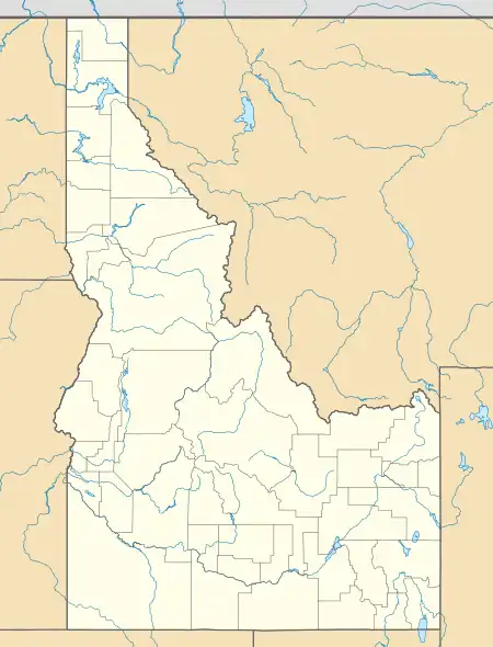
| Cities | Map of Idaho highlighting Idaho County | |
| CDP | ||
| Unincorporated communities | ||
| Ghost towns | ||
| Indian reservation | ||
| Footnotes | ‡This populated place also has portions in an adjacent county or counties | |
This article is issued from Wikipedia. The text is licensed under Creative Commons - Attribution - Sharealike. Additional terms may apply for the media files.