| Pukara | |
|---|---|
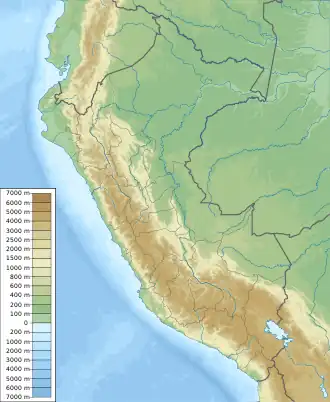 Pukara Peru | |
| Highest point | |
| Elevation | 3,880 m (12,730 ft)[1] |
| Coordinates | 13°12′15″S 71°39′16″W / 13.20417°S 71.65444°W |
| Naming | |
| Language of name | Quechua |
| Geography | |
| Location | Peru, Cusco Region, Paucartambo Province |
| Parent range | Andes |
Pukara (Quechua for fortress,[2] Hispanicized spelling Pucará) is a mountain in the Cusco Region in Peru, about 3,880 metres (12,730 ft) high. It is situated in the Paucartambo Province, Challabamba District, west of Challabamba.[3]
References
- ↑ "South America Maps". Joint Operations Graphic. Retrieved June 26, 2014.
- ↑ Teofilo Laime Ajacopa, Diccionario Bilingüe Iskay simipi yuyayk'ancha, La Paz, 2007 (Quechua-Spanish dictionary)
- ↑ escale.minedu.gob.pe - UGEL map of the Paucartambo Province (Cusco Region)
This article is issued from Wikipedia. The text is licensed under Creative Commons - Attribution - Sharealike. Additional terms may apply for the media files.