Purdy, Oklahoma | |
|---|---|
 Purdy  Purdy | |
| Coordinates: 34°42′57″N 97°35′15″W / 34.71583°N 97.58750°W | |
| Country | United States |
| State | Oklahoma |
| County | Garvin |
| Elevation | 1,034 ft (315 m) |
| Time zone | UTC-6 (Central (CST)) |
| • Summer (DST) | UTC-5 (CDT) |
| GNIS feature ID | 1100770[1] |
Purdy is an unincorporated community located near State Highway 76 in Garvin County, Oklahoma, United States.[2]
References
- 1 2 U.S. Geological Survey Geographic Names Information System: Purdy, Oklahoma
- ↑ Official State Highway Map (Map) (2005-2006 ed.). Oklahoma Department of Transportation. § K6.
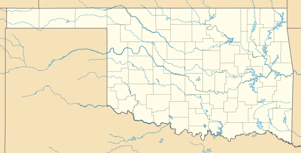
Municipalities and communities of Garvin County, Oklahoma, United States | ||
|---|---|---|
| Cities | 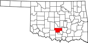 Garvin County map | |
| Towns | ||
| CDP | ||
| Other communities | ||
| Ghost town | ||
| Indian reservation | ||
| Footnotes | ‡This populated place also has portions in an adjacent county or counties | |
This article is issued from Wikipedia. The text is licensed under Creative Commons - Attribution - Sharealike. Additional terms may apply for the media files.