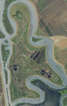
 USGS aerial imagery of the island. | |
 Quimby Island 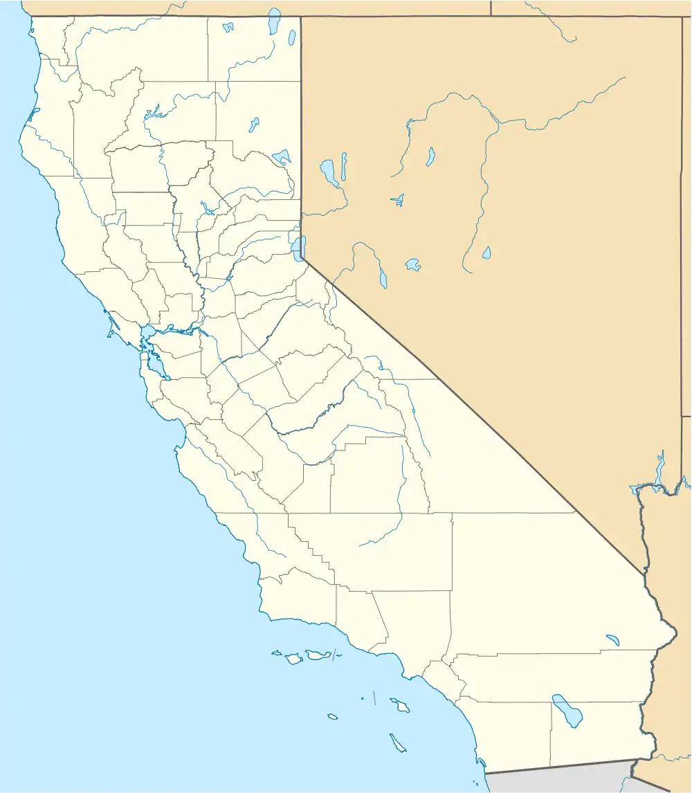 Quimby Island  Quimby Island | |
| Geography | |
|---|---|
| Location | Northern California |
| Coordinates | 38°01′31″N 121°34′17″W / 38.0251993°N 121.5713413°W[1] |
| Adjacent to | Sacramento–San Joaquin River Delta |
| Area | 789 acres (319 ha) |
| Length | 2.25 mi (3.62 km)[1] |
| Highest elevation | −10 ft (-3 m)[1] |
| Administration | |
United States | |
| State | |
| County | Contra Costa |
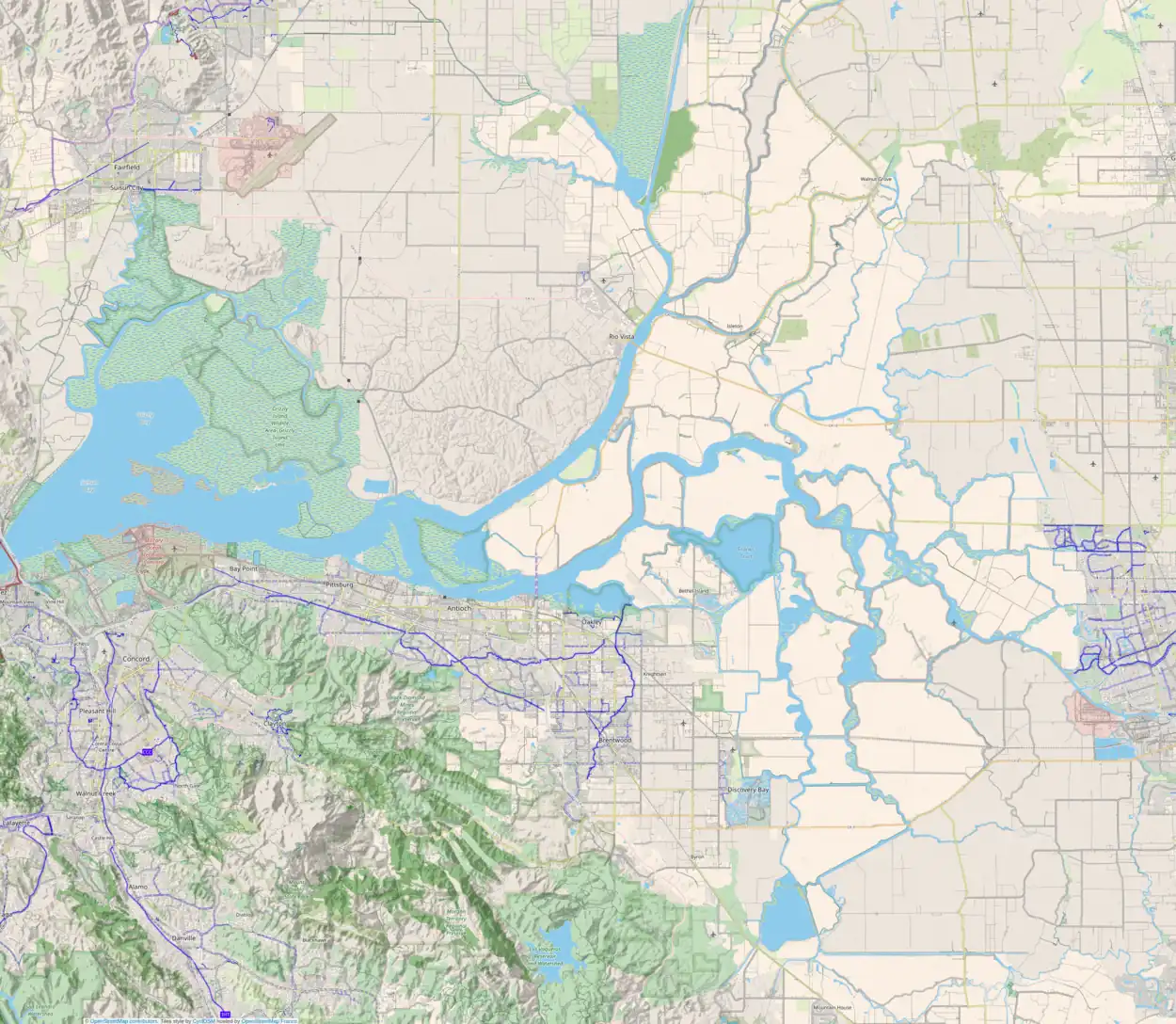
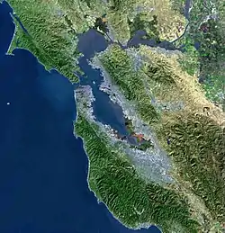
Quimby Island is a small island in the Sacramento–San Joaquin River Delta,[2][3] whose coordinates are 38°01′31″N 121°34′17″W / 38.0251993°N 121.5713413°W[1]. It is in Contra Costa County, and managed by Reclamation District 2090.[4]
References
- 1 2 3 4 U.S. Geological Survey Geographic Names Information System: Quimby Island
- ↑ "New Floods Sweep Valleys". Oakland Tribune. Oakland, California. 1938-02-14. p. 1.
- ↑ "Thor Kofod Buys Quimby Island For $34,000". Contra Costa Gazette. Martinez, California. 1943-12-04. p. 1.
- ↑ "Countywide Reclamation Services: Municipal Service Review/Sphere of Influence Update (2nd Round) – FINAL" (PDF). Contra Costa Local Agency Formation Commission. 18 November 2015. Archived (PDF) from the original on 1 March 2017. Retrieved 23 February 2021.
Map: Islands of Suisun Bay and the Sacramento–San Joaquin River Delta | |
|---|---|
(islands of the San Francisco Bay Area) |
This article is issued from Wikipedia. The text is licensed under Creative Commons - Attribution - Sharealike. Additional terms may apply for the media files.