| RAF Forres | |||||||||
|---|---|---|---|---|---|---|---|---|---|
| Forres, Moray in Scotland | |||||||||
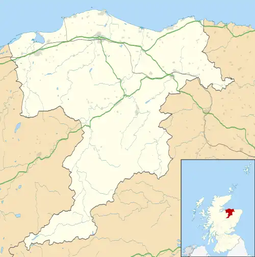 RAF Forres Shown within Moray 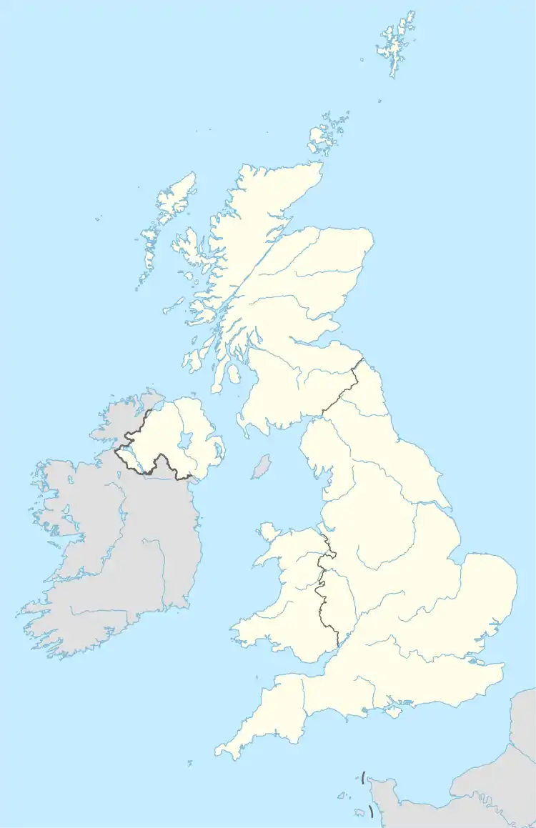 RAF Forres RAF Forres (the United Kingdom) | |||||||||
| Coordinates | 57°35′53″N 3°38′32″W / 57.59806°N 3.64222°W | ||||||||
| Type | Satellite station | ||||||||
| Site information | |||||||||
| Owner | Air Ministry | ||||||||
| Operator | Royal Air Force | ||||||||
| Controlled by | RAF Bomber Command * No. 6 (T) Group RAF * No. 91 (OTU) Group RAF | ||||||||
| Site history | |||||||||
| Built | 1939/40 | ||||||||
| In use | April 1940 - October 1944[1] | ||||||||
| Battles/wars | European theatre of World War II | ||||||||
| Airfield information | |||||||||
| Elevation | 15 metres (49 ft)[1] AMSL | ||||||||
| |||||||||
Royal Air Force Forres or more simply RAF Forres is a former Royal Air Force satellite station located near Forres, Moray, Scotland. The station was controlled by RAF Lossiemouth.
The following units were here at some point:[2]
- Satellite airfield of No. 19 Operational Training Unit RAF (21 January 1941 - 22 October 1944)[3]
- Relief Landing Ground of No. 19 (Pilots) Advanced Flying Unit RAF (25 May 1943 - 20 November 1943)[4]
References
Citations
- 1 2 Falconer 2012, p. 96.
- ↑ "Forres". Airfields of Britain Conservation Trust. Retrieved 13 September 2022.
- ↑ Sturtivant, Hamlin & Halley 1997, p. 237.
- ↑ Sturtivant, Hamlin & Halley 1997, p. 43.
Bibliography
- Falconer, J (2012). RAF Airfields of World War 2. UK: Ian Allan Publishing. ISBN 978-1-85780-349-5.
- Sturtivant, R; Hamlin, J; Halley, J (1997). Royal Air Force flying training and support units. UK: Air-Britain (Historians). ISBN 0-85130-252-1.
| formations and units |
| ||||||
|---|---|---|---|---|---|---|---|
| branches and components | |||||||
| reserve forces | |||||||
| equipment | |||||||
| personnel | |||||||
| appointments | |||||||
| symbols and uniform | |||||||
| associated civil organisations | |||||||
This article is issued from Wikipedia. The text is licensed under Creative Commons - Attribution - Sharealike. Additional terms may apply for the media files.