Rainy Lake 17B | |
|---|---|
| Rainy Lake Indian Reserve No. 17B | |
 Rainy Lake 17B | |
| Coordinates: 48°53′N 93°45′W / 48.883°N 93.750°W | |
| Country | |
| Province | |
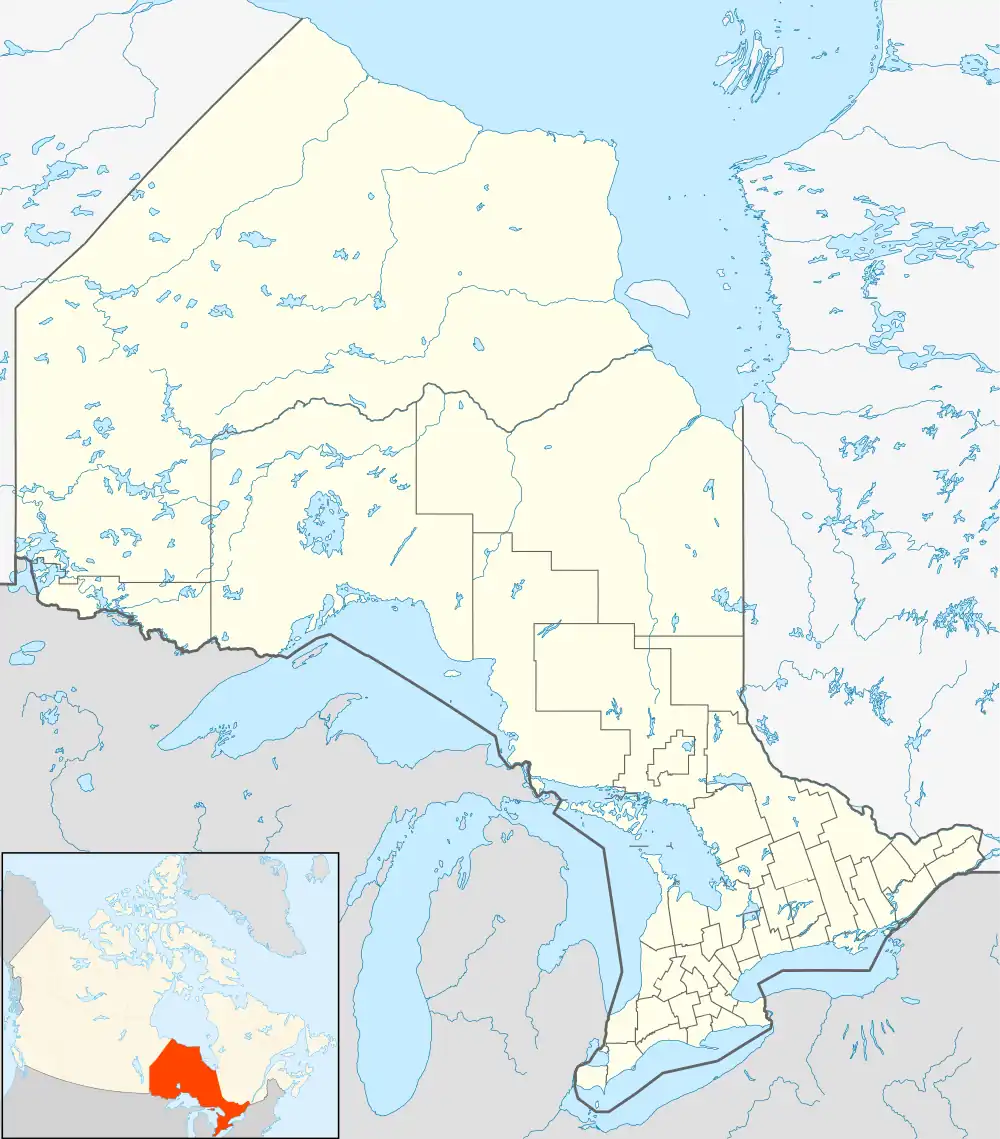
| District | Rainy River |
| First Nation | Naicatchewenin |
| Area | |
| • Land | 10.16 km2 (3.92 sq mi) |
| Population (2011)[1] | |
| • Total | 5 |
| • Density | 0.5/km2 (1/sq mi) |
| Website | naicatcheweninfirstnation.ca |
Rainy Lake 17B is a First Nations reserve in Rainy River District, Ontario. It is one of the reserves of the Naicatchewenin First Nation.
References
- 1 2 "Rainy Lake 17B census profile". 2011 Census of Population. Statistics Canada. Retrieved 17 June 2015.
Places adjacent to Rainy Lake 17B | |
|---|---|
| Towns | 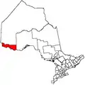 | |
|---|---|---|
| Townships | ||
| First Nations | ||
| Indian reserves |
| |
| Unorganized areas | ||
| Unincorporated communities | ||
| ||
This article is issued from Wikipedia. The text is licensed under Creative Commons - Attribution - Sharealike. Additional terms may apply for the media files.