Rambha Rural Municipality
रम्भा गाउँपालिका!!! | |
|---|---|
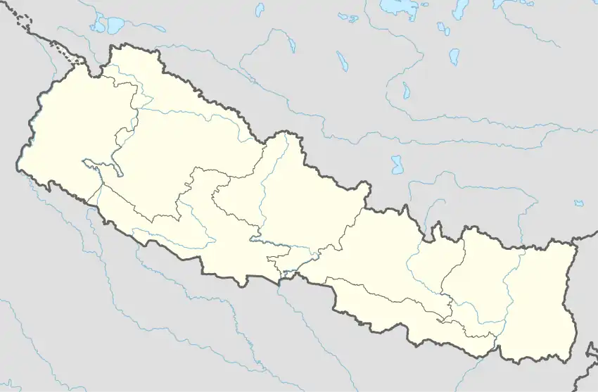 Rambha Rural Municipality Location in Nepal | |
| Coordinates: 27°51′13″N 83°39′28″E / 27.853558°N 83.657792°E | |
| Country | |
| Province | Lumbini Province |
| District | Palpa District |
| Area | |
| • Total | 94.1 km2 (36.3 sq mi) |
| Population | |
| • Total | 20,190 |
| • Density | 210/km2 (560/sq mi) |
| Time zone | UTC+5:45 (Nepal Time) |
| Website | rambhamun.gov.np |
Rambha Rural Municipality (Nepali :रम्भा गाउँपालिका) is a Gaunpalika in Palpa District in Lumbini Province of Nepal. On 12 March 2017, the government of Nepal implemented a new local administrative structure, with the implementation of the new local administrative structure, VDCs have been replaced with municipal and Village Councils. Rambha is one of these 753 local units.[1]
References
- ↑ "रम्भा गाउँपालिका गाउँ कार्यपालिकाको कार्यालय | "रम्भा गाउँपालिकाको शान ,सुखी रम्भाबासि समृद्ध रम्भा हाम्रो अभियान" प्रदेश नं ५". rambhamun.gov.np. Retrieved 2020-07-08.
This article is issued from Wikipedia. The text is licensed under Creative Commons - Attribution - Sharealike. Additional terms may apply for the media files.