Ravaliyavadar | |
|---|---|
Village | |
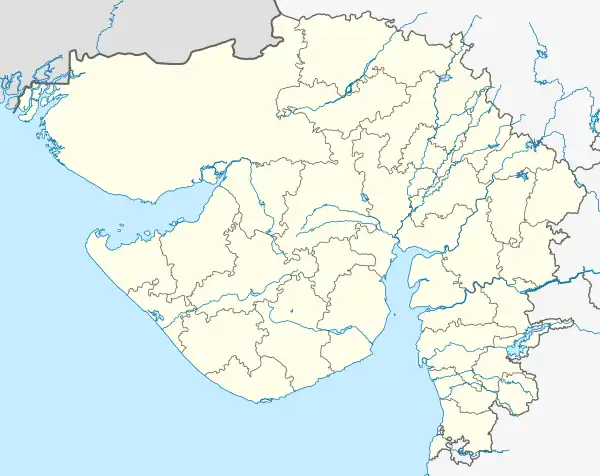 Ravaliyavadar Location in Gujarat, India  Ravaliyavadar Ravaliyavadar (India) | |
| Coordinates: 22°54′23″N 71°25′55″E / 22.90639°N 71.43194°E | |
| Country | |
| State | Gujarat |
| District | Surendranagar District |
| Elevation | 54 m (177 ft) |
| Population | |
| • Total | 2,781[1] |
| Languages | |
| • Official | Gujarati (State),[2] Hindi (Federal) |
| Time zone | UTC+5:30 (IST) |
| PIN | 363040 |
| Telephone code | 02754 |
| Vehicle registration | GJ |
| Nearest cities | Thangadh, Wadhwan, Wankaner and Limbdi |
| Climate | Dry almost (Köppen) |
| Website | gujaratindia |
Ravaliyavadar is a village in the Surendranagar district of the state of Gujarat in India. It is surrounded by the Thangadh, Wankaner, Limbdi and Wadhwan tehsils.
References
- ↑ "Population of Ravaliyavadar Village, Surendranagar, Gujarat". censusindia.gov.in. Retrieved 16 August 2015.
- ↑ "Ethnologue report for language code: guj". Archive.ethnologue.com. Retrieved 16 August 2015.
This article is issued from Wikipedia. The text is licensed under Creative Commons - Attribution - Sharealike. Additional terms may apply for the media files.