Ravne | |
|---|---|
Village | |
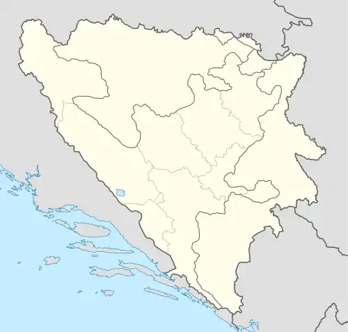 Ravne Location in Bosnia and Herzegovina | |
| Coordinates: 44°37′40″N 17°20′22″E / 44.6278°N 17.3394°E | |
| Country | |
| Entity | Republika Srpska |
| Municipality | Kotor Varoš |
| Population (1991) | |
| • Total | 443 |
| Time zone | Central European |
| Area code | +387 (051) |
Ravne (Serbian Cyrillic: Равне) is a settlement in the Bosnia and Herzegovina, Republika Srpska entity, Kotor Varoš Municipality.[1][2][3]
Population
| Ravne; Census Year 2013: Total of 339 inhabitants | ||||||
| Census Year | 1991. | 1981. | 1971. | |||
| Bosniaks | 414 (93,45%) | 382 (92,27%) | 357 (96,75%) | |||
| Croats | 28 (6,321%) | 27 (6,522%) | 10 (2,710%) | |||
| Serbs | 1 (0,242%) | 1 (0,271%) | ||||
| Yugoslavs | 3 (0,725%) | |||||
| Others and unknown | 1 (0,226%) | 1 (0,242%) | 1 (0,271%) | |||
| Total | 443 | 414 | 369 | |||
See also
References
- ↑ "Home". kartabih.com.
- ↑ Vojnogeografski institut, Izd. (1955): Prnjavor (List karte 1:100.000, Izohipse na 20 m). Vojnogeografski institut, Beograd.
- ↑ Mučibabić B., ed. (1998). Geografski atlas Bosne i Hercegovine. Sarajevo: Geodetski zavod BiH. ISBN 9958-766-00-0.
- ↑ Zolić H., Ur. (1002): Knjiga: "Nacionalni sastav stanovništva - Rezultati za Republiku po opštinama i naseljenim mjestima 1991.", statistički bilten br. 234, Izdanje Državnog zavoda za statistiku Republike Bosne i Hercegovine, Sarajevo.
- ↑ Internet - izvor, "Popis po mjesnim zajednicama" - "Archived copy" (PDF). Archived from the original (PDF) on 2013-10-05. Retrieved 2013-10-05.
{{cite web}}: CS1 maint: archived copy as title (link).
This article is issued from Wikipedia. The text is licensed under Creative Commons - Attribution - Sharealike. Additional terms may apply for the media files.