| Reda | |
|---|---|
 Reda River and the surrounding landscape | |
| Location | |
| Country | Poland |
| Physical characteristics | |
| Mouth | |
• location | Bay of Puck |
• coordinates | 54°38′28″N 18°28′25″E / 54.6411°N 18.4736°E |
| Length | 45 km (28 mi) |
| Basin size | 485 km2 (187 sq mi) |
The Reda is a river in northern Poland in the Pomeranian Voivodship. It empties into the Bay of Puck, a part of Gdańsk Bay.
The Reda is 45 km long, and drains about 485 square kilometers. It flows within the geographical region of Pobrzeże Kaszubskie; bordering Puszcza Darżlubska (English: Darżlubie Forest, or Darżlubska Wilderness) to the north, and the Tricity Landscape Park (Trójmiejski Park Krajobrazowy) to the south.
Flow of the Reda river
The Reda flows through or near these locations:
Gallery
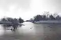
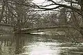
- The upper course
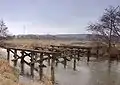
 Old bridge
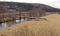 Pipeline
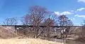 Railway bridge
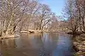 Island on Reda
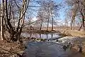 Old sluice gate
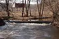 Old footbridge
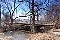 New footbridge
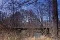 Pipeline bridge
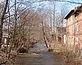 Location of old sluice gate
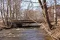 Bridge
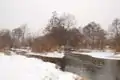 Łyski canal
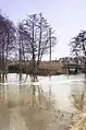 Fish farm
- The lower course: Mostowe Błota
 Destroyed bridge
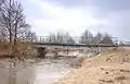 Bridge
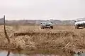 Former bridge anchor
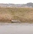 Fishing spot
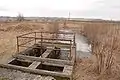 Water outtake
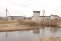 Water station
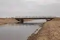 New concrete bridge
- River mouth
See also
 Media related to Reda (river) at Wikimedia Commons
- Bolszewka
External links
This article is issued from Wikipedia. The text is licensed under Creative Commons - Attribution - Sharealike. Additional terms may apply for the media files.