| Rega | |
|---|---|
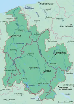 Rega Basin | |
| Location | |
| Country | Poland |
| Physical characteristics | |
| Source | |
| • location | near Imienko |
| • elevation | 177.5 m (582 ft) |
| Mouth | |
• location | Baltic Sea |
• coordinates | 54°08′46″N 15°17′07″E / 54.1462°N 15.2854°E |
| Length | 188 km (117 mi) |
| Basin size | 2,767 km2 (1,068 sq mi) |
| Discharge | |
| • average | 21.1 m3/s (750 cu ft/s) |
| Basin features | |
| Progression | West then North |
| Tributaries | |
| • left | Ukleja, Stara Rega (river), Reska Węgorza |
| • right | Mołstowa, Rekowa |
The Rega is a river in north-western Poland, flowing into the Baltic Sea. It is the country's 24th longest river, with a total length of 188 km and a catchment area of 2,767 km2.[1]
Towns
The following towns are situated on the Rega:
Tributaries
The following rivers are tributaries of the Rega:
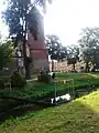
Images
 Świdwin
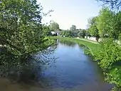 Łobez
Łobez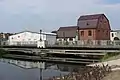 Resko
Resko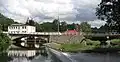 Płoty
Płoty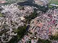 Gryfice
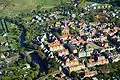 Trzebiatów
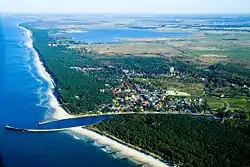 Mrzeżyno - (Baltic Sea)
See also
References
Wikimedia Commons has media related to Rega.
Wikimedia Commons has media related to Rega.
| Vistula | |
|---|---|
| Odra | |
| Vistula Lagoon | |
| Baltic Sea | |
This article is issued from Wikipedia. The text is licensed under Creative Commons - Attribution - Sharealike. Additional terms may apply for the media files.