Reutje | |
|---|---|
Hamlet | |
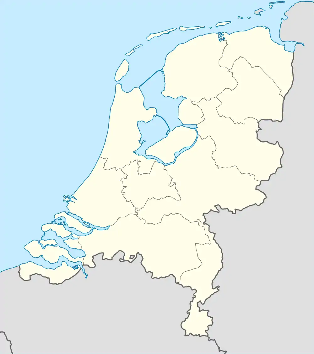 Reutje Location in the Netherlands 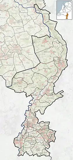 Reutje Location in the province of Limburg in the Netherlands | |
| Coordinates: 51°8′N 6°6′E / 51.133°N 6.100°E | |
| Country | |
| Province | |
| Municipality | |
| Area | |
| • Total | 0.11 km2 (0.04 sq mi) |
| Elevation | 25 m (82 ft) |
| Population (2021)[1] | |
| • Total | 175 |
| • Density | 1,600/km2 (4,100/sq mi) |
| Time zone | UTC+1 (CET) |
| • Summer (DST) | UTC+2 (CEST) |
| Postal code | 6077[1] |
| Dialing code | 0475 |
Reutje or 't Reutje (Dutch pronunciation: [(ət) ˈrøːcə]; Limburgish: 't Räötje [ət ˈʀœːtʃə]) is a hamet in Dutch Limburg. It belongs to the municipality of Roerdalen. It lies a few km from Sint Odiliënberg.
It was first mentioned in 1251 as "curtis in Raetken", and means "cultivated forest".[3] Reutje has place name signs. It was home to 184 people in 1840.[4]
There is a small café 'Bie Tiel' and a big fanfare, Sint Wiro. Reutje also has its own song: Träötje mien Landj, composed by Wiel Janssen and Pièrre Bonné.[4]
References
- 1 2 3 "Kerncijfers wijken en buurten 2021". Central Bureau of Statistics. Retrieved 25 April 2022.
- ↑ "Postcodetool for 6077AA". Actueel Hoogtebestand Nederland (in Dutch). Het Waterschapshuis. Retrieved 25 April 2022.
- ↑ "Reutje - (geografische naam)". Etymologiebank (in Dutch). Retrieved 25 April 2022.
- 1 2 "Reutje". Plaatsengids (in Dutch). Retrieved 25 April 2022.
External links
This article is issued from Wikipedia. The text is licensed under Creative Commons - Attribution - Sharealike. Additional terms may apply for the media files.