Riggins, Mississippi | |
|---|---|
 Riggins, Mississippi  Riggins, Mississippi | |
| Coordinates: 34°03′02″N 88°15′10″W / 34.05056°N 88.25278°W | |
| Country | United States |
| State | Mississippi |
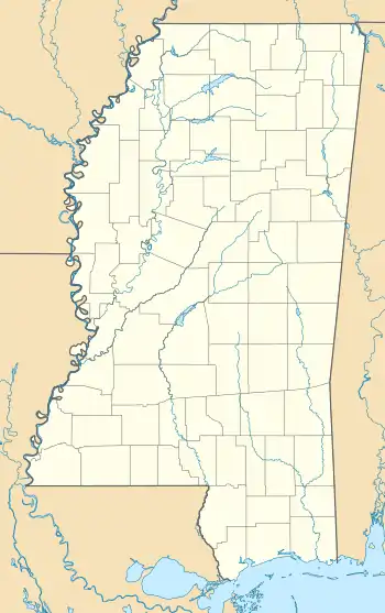
| County | Monroe |
| Elevation | 495 ft (151 m) |
| Time zone | UTC-6 (Central (CST)) |
| • Summer (DST) | UTC-5 (CDT) |
| Area code | 662 |
| GNIS feature ID | 711139[1] |
Riggins is an unincorporated community in Monroe County, Mississippi, United States.[1]
History
Riggins is located on Splunge Creek, a tributary of the Buttahatchee River. In 1900, Riggins had a population of 22.[2]
A post office operated under the name Riggins from 1886 to 1906.[3]
References
- 1 2 U.S. Geological Survey Geographic Names Information System: Riggins
- ↑ Rowland, Dunbar (1907). Mississippi: Comprising Sketches of Counties, Towns, Events, Institutions, and Persons, Arranged in Cyclopedic Form (PDF). Vol. 2. Southern Historical Publishing Association. p. 555.
- ↑ "Monroe County". Jim Forte Postal History. Retrieved September 7, 2023.
Municipalities and communities of Monroe County, Mississippi, United States | ||
|---|---|---|
| Cities | 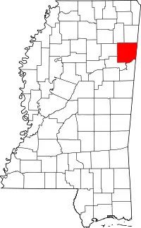 Map of Mississippi highlighting Monroe County | |
| Towns | ||
| Village | ||
| CDPs | ||
| Other communities | ||
| Ghost towns | ||
| Footnotes | ‡This town also has portions in adjacent county or counties | |
This article is issued from Wikipedia. The text is licensed under Creative Commons - Attribution - Sharealike. Additional terms may apply for the media files.