Roßbach | |
|---|---|
Location of Roßbach | |
 Roßbach 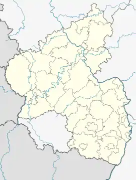 Roßbach | |
| Coordinates: 50°36′21″N 7°41′0″E / 50.60583°N 7.68333°E | |
| Country | Germany |
| State | Rhineland-Palatinate |
| District | Westerwaldkreis |
| Municipal assoc. | Hachenburg |
| Government | |
| • Mayor (2019–24) | Wilfried Oettgen[1] |
| Area | |
| • Total | 7.47 km2 (2.88 sq mi) |
| Elevation | 300 m (1,000 ft) |
| Population (2021-12-31)[2] | |
| • Total | 820 |
| • Density | 110/km2 (280/sq mi) |
| Time zone | UTC+01:00 (CET) |
| • Summer (DST) | UTC+02:00 (CEST) |
| Postal codes | 56271 |
| Dialling codes | 02680 |
| Vehicle registration | WW |
| Website | www.rossbach-ww.de |
Roßbach is an Ortsgemeinde – a community belonging to a Verbandsgemeinde – in the Westerwaldkreis in Rhineland-Palatinate, Germany.
Geography
The community lies between Hachenburg and Dierdorf. The residential community of Roßbach belongs to the Verbandsgemeinde of Hachenburg, a kind of collective municipality. Its seat is in the like-named town.
Politics
The municipal council is made up of 13 council members, including the extraofficial mayor (Bürgermeister), who were elected in a municipal election on 13 June 2004.
| SPD | CDU | Wählergemeinschaft | Total | |
| 2004 | 5 | 3 | 4 | 12 seats |
Economy and infrastructure
Roßbach lies west of Bundesstraße 413 from Bendorf (near Koblenz) to Hachenburg. The nearest Autobahn interchanges are in Dierdorf on the A 3 (Cologne–Frankfurt). The nearest InterCityExpress stop is the railway station at Montabaur on the Cologne-Frankfurt high-speed rail line.
References
- ↑ Direktwahlen 2019, Westerwaldkreis, Landeswahlleiter Rheinland-Pfalz, accessed 9 August 2021.
- ↑ "Bevölkerungsstand 2021, Kreise, Gemeinden, Verbandsgemeinden" (in German). Statistisches Landesamt Rheinland-Pfalz. 2022.
External links
- Roßbach (in German)
- Roßbach in the collective municipality’s Web pages (in German)