Roossenekal | |
|---|---|
 Roossenekal 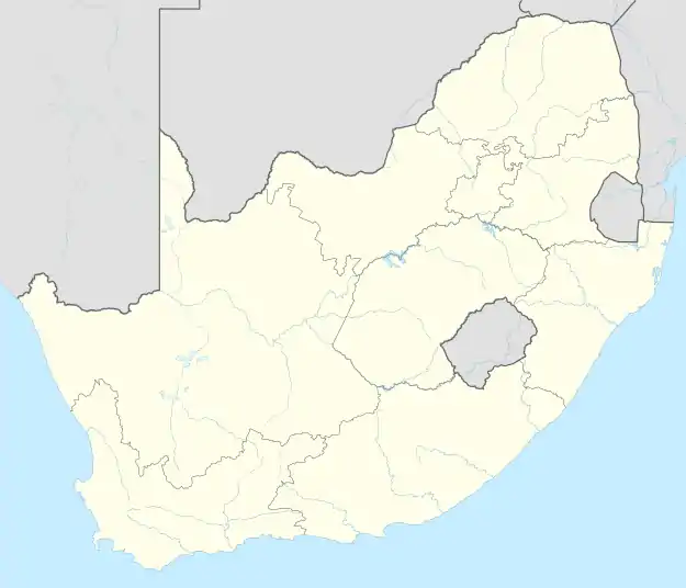 Roossenekal | |
| Coordinates: 25°11′42″S 29°55′30″E / 25.195°S 29.925°E | |
| Country | South Africa |
| Province | Limpopo |
| District | Sekhukhune |
| Municipality | Elias Motsoaledi |
| Area | |
| • Total | 2.52 km2 (0.97 sq mi) |
| Population (2011)[1] | |
| • Total | 2,625 |
| • Density | 1,000/km2 (2,700/sq mi) |
| Racial makeup (2011) | |
| • Black African | 92.5% |
| • Coloured | 0.7% |
| • Indian/Asian | 0.5% |
| • White | 6.1% |
| • Other | 0.3% |
| First languages (2011) | |
| • Northern Sotho | 67.3% |
| • S. Ndebele | 8.8% |
| • Afrikaans | 6.3% |
| • Zulu | 3.3% |
| • Other | 14.3% |
| Time zone | UTC+2 (SAST) |
| PO box | 1066 |
| Area code | 013 |
Roossenekal is a town in Elias Motsoaledi Local Municipality in the Limpopo province of South Africa.
Village on the western slopes of the Steenkampsberg, 95 km north-east of Middelburg. It was proclaimed in January 1886 and named after two soldiers who died in the war against Mapoch's tribe - Stefanus Johannes Roos, Field-Cornet of the Potchefstroom commando, and Frederick Senekal, Commandant of the Rustenburg commando.[2]
References
- 1 2 3 4 "Main Place Roossenekal". Census 2011.
- ↑ "Dictionary of Southern African Place Names (Public Domain)". Human Science Research Council. p. 391.
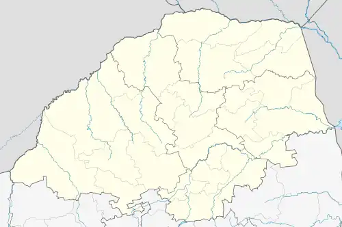
Municipalities and communities of Sekhukhune District Municipality | ||
|---|---|---|
District seat: Groblersdal | ||
| Elias Motsoaledi | .svg.png.webp) Sekhukhune District within South Africa | |
| Ephraim Mogale | ||
| Fetakgomo Tubatse | ||
| Makhuduthamaga | ||
This article is issued from Wikipedia. The text is licensed under Creative Commons - Attribution - Sharealike. Additional terms may apply for the media files.