Rotberget | |
|---|---|
Village | |
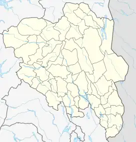 Location of the village 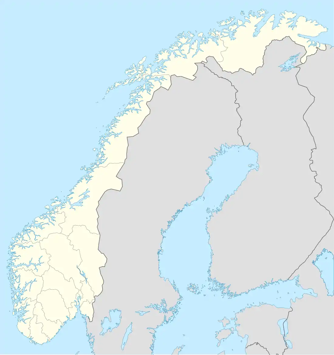 Rotberget (Norway) | |
| Coordinates: 60°30′57″N 12°32′25″E / 60.5158°N 12.54017°E | |
| Country | Norway |
| Region | Eastern Norway |
| County | Innlandet |
| District | Solør |
| Municipality | Grue Municipality |
| Elevation | 392 m (1,286 ft) |
| Time zone | UTC+01:00 (CET) |
| • Summer (DST) | UTC+02:00 (CEST) |
| Post Code | 2256 Grue Finnskog |
Rotberget is a village in Grue Municipality in Innlandet county, Norway. The village is located in the Finnskogen district, about 3.5 kilometres (2.2 mi) west of the Swedish border.
History
Starting on 1 January 1838, Rotberget was administratively a part of the municipality of Hof. On 1 January 1963, Hof became a part of Åsnes municipality, and then on 1 January 1969 Rotberget was moved to the neighboring municipality Grue. At that time Rotberget had twenty three inhabitants.[2]
References
- ↑ "Rotberget, Grue". yr.no. Retrieved 17 March 2022.
- ↑ Jukvam, Dag (1999). "Historisk oversikt over endringer i kommune- og fylkesinndelingen" (PDF) (in Norwegian). Statistisk sentralbyrå.
This article is issued from Wikipedia. The text is licensed under Creative Commons - Attribution - Sharealike. Additional terms may apply for the media files.