Saint-Ignace | |
|---|---|
Community | |
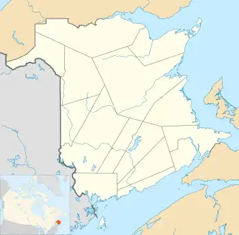  Saint-Ignace Location of Saint-Ignace in New Brunswick | |
| Coordinates: 46°42′07″N 65°04′59″W / 46.702°N 65.083°W | |
| Country | .svg.png.webp) Canada Canada |
| Province |  New Brunswick New Brunswick |
| County | Kent County |
| Local service district | 1973 |
| Government | |
| • MP | Dominic LeBlanc |
| • MLA | Kevin Arseneau |
| Area | |
| • Total | 31.90 km2 (12.32 sq mi) |
| Elevation | Sea level to 6 m (0 - 20 ft) |
| Population (2011)[1] | |
| • Total | 606 |
| • Density | 19.00/km2 (49.2/sq mi) |
| Time zone | Atlantic Standard Time (-4) |
Saint-Ignace is a settlement in Kent County, New Brunswick, Canada on the Kouchibouguacis River. It was part of the former local service district of Saint-Ignace, which also included the community of Camerons Mill.
Geography
Geology
The basement of Saint-Ignatius is composed mainly of sedimentary rock group dating from the Pictou Pennsylvanian (300 to 311 million years ago)
History
Notable people
- Mia Martina, singer
See also
References
This article is issued from Wikipedia. The text is licensed under Creative Commons - Attribution - Sharealike. Additional terms may apply for the media files.