Samarka
Самарка | |
|---|---|
Selo | |
 Samarka 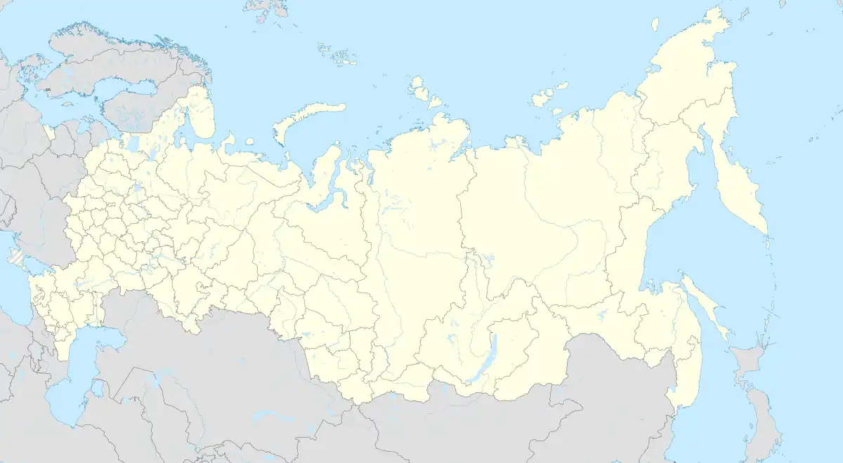 Samarka | |
| Coordinates: 50°54′N 81°32′E / 50.900°N 81.533°E[1] | |
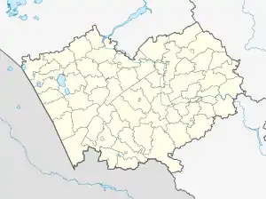
| Country | Russia |
| Region | Altai Krai |
| District | Loktevsky District |
| Time zone | UTC+7:00 |
Samarka (Russian: Самарка) is a rural locality (a selo) and the administrative center of Samarsky Selsoviet of Loktevsky District, Altai Krai, Russia. The population was 590 as of 2016.[2] There are 4 streets.
Geography
Samarka is located in the valley of the Zolotukha River, 14 km southeast of Gornyak (the district's administrative centre) by road. Uspenka is the nearest rural locality.[3]
Ethnicity
The village is inhabited by Russians, Germans and others.
References
- ↑ "Карта села Самарки в Алтайском крае с улицами и номерами домов". MapData.ru. Retrieved 2018-10-04.
- ↑ "Численность населения Российской Федерации по муниципальным образованиям на 1 января 2016 года". gks.ru. Retrieved 2018-10-04.
- ↑ Расстояние от Самарки до Горняка
This article is issued from Wikipedia. The text is licensed under Creative Commons - Attribution - Sharealike. Additional terms may apply for the media files.