Sand Gap, Arkansas | |
|---|---|
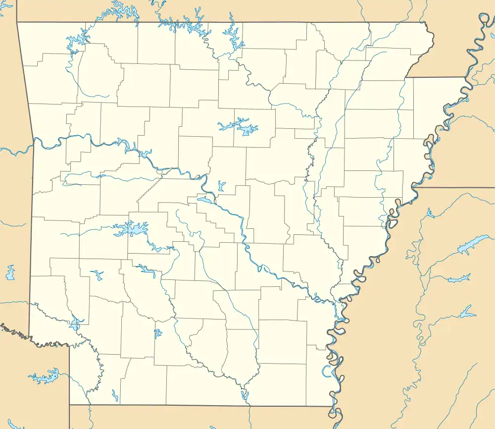 Sand Gap, Arkansas Position in Arkansas | |
| Coordinates: 35°43′15″N 93°05′46″W / 35.72083°N 93.09611°W | |
| Country | |
| State | |
| County | Pope |
| Elevation | 598 m (1,962 ft) |
| Time zone | UTC-6 (Central (CST)) |
| • Summer (DST) | UTC-5 (CDT) |
| GNIS feature ID | 78290 |
Sand Gap is an unincorporated community in Freeman Township, Pope County, Arkansas, United States.[1] Sand Gap is located at the junction of Arkansas highways 7 and 16.
Sand Gap used to be known as Grand Gap. The [2] official Arkansas town name is Pelsor.[1] It contains Archeological Site 3PP614, which is listed on the National Register of Historic Places.
References
Municipalities and communities of Pope County, Arkansas, United States | ||
|---|---|---|
| Cities | 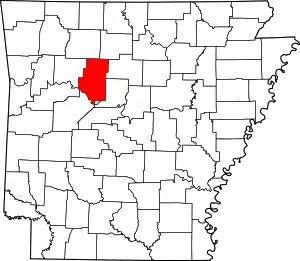 Map of Arkansas highlighting Pope County | |
| Town | ||
| Townships | ||
| CDPs | ||
| Other unincorporated communities |
| |
This article is issued from Wikipedia. The text is licensed under Creative Commons - Attribution - Sharealike. Additional terms may apply for the media files.