Sankt Georgen im Lavanttal | |
|---|---|
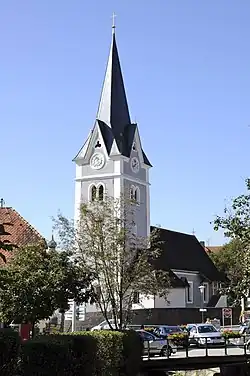 Sankt Georgen parish church | |
 Coat of arms | |
 Sankt Georgen im Lavanttal Location within Austria | |
| Coordinates: 46°43′N 14°55′E / 46.717°N 14.917°E | |
| Country | Austria |
| State | Carinthia |
| District | Wolfsberg |
| Government | |
| • Mayor | Karl Markut |
| Area | |
| • Total | 72.39 km2 (27.95 sq mi) |
| Elevation | 453 m (1,486 ft) |
| Population (2018-01-01)[2] | |
| • Total | 1,981 |
| • Density | 27/km2 (71/sq mi) |
| Time zone | UTC+1 (CET) |
| • Summer (DST) | UTC+2 (CEST) |
| Postal code | 9423 |
| Area code | 04357 |
| Website | www.st-georgen-lav.at |
Sankt Georgen im Lavanttal (Slovene: Šent Jurij v Labotu) is a town in the district of Wolfsberg in the Austrian state of Carinthia.
Geography
The municipality lies in the lower Lavant River valley 17 km south of Wolfsberg.
References
- ↑ "Dauersiedlungsraum der Gemeinden Politischen Bezirke und Bundesländer - Gebietsstand 1.1.2018". Statistics Austria. Retrieved 10 March 2019.
- ↑ "Einwohnerzahl 1.1.2018 nach Gemeinden mit Status, Gebietsstand 1.1.2018". Statistics Austria. Retrieved 9 March 2019.
Wikimedia Commons has media related to Sankt Georgen im Lavanttal.
This article is issued from Wikipedia. The text is licensed under Creative Commons - Attribution - Sharealike. Additional terms may apply for the media files.