Santa Clara | |
|---|---|
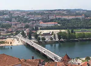 A view of the parish of Santa Clara in Coimbra on the south bank (left bank) of the Mondego river | |
 Coat of arms | |
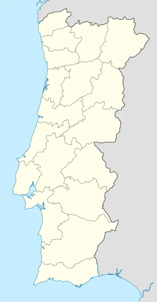 Santa Clara Location in Portugal | |
| Coordinates: 40°11′27″N 8°26′18″W / 40.19083°N 8.43833°W | |
| Country | |
| Region | Centro |
| Intermunic. comm. | Região de Coimbra |
| District | Coimbra |
| Municipality | Coimbra |
| Established | 1855 |
| Disbanded | 28 January 2013 |
| Area | |
| • Total | 9.77 km2 (3.77 sq mi) |
| Population (2011) | |
| • Total | 9,929 |
| • Density | 1,000/km2 (2,600/sq mi) |
| Time zone | UTC±00:00 (WET) |
| • Summer (DST) | UTC+01:00 (WEST) |
Santa Clara is a former civil parish in the municipality of Coimbra, Portugal. It was also known as São Francisco or São Francisco da Ponte after its foundation in 1855.[1] The population in 2011 was 9,929, in an area of 9.77 km2. On 28 January 2013 it with Castelo Viegas to form Santa Clara e Castelo Viegas.[2]
|
Cultural heritage, monuments and other attractions
- Monastery of Santa Clara-a-Nova (National Monument)
- Monastery of Santa Clara-a-Velha (National Monument)
- Quinta das Lágrimas
- Portugal dos Pequenitos
- Ponte de Santa Clara (bridge)
- Coimbra University Stadium
References
- ↑ "Paróquia de Santa Clara". pesquisa.auc.uc.pt (in Portuguese). Retrieved 2021-06-22.
- ↑ Diário da República. "Law nr. 11-A/2013, page 552 41" (PDF) (in Portuguese). Retrieved 21 July 2014.
- ↑ "Statistics Portugal - Web Portal". www.ine.pt. Retrieved 2021-06-15.
This article is issued from Wikipedia. The text is licensed under Creative Commons - Attribution - Sharealike. Additional terms may apply for the media files.