Santa Clara de Louredo | |
|---|---|
 Coat of arms | |
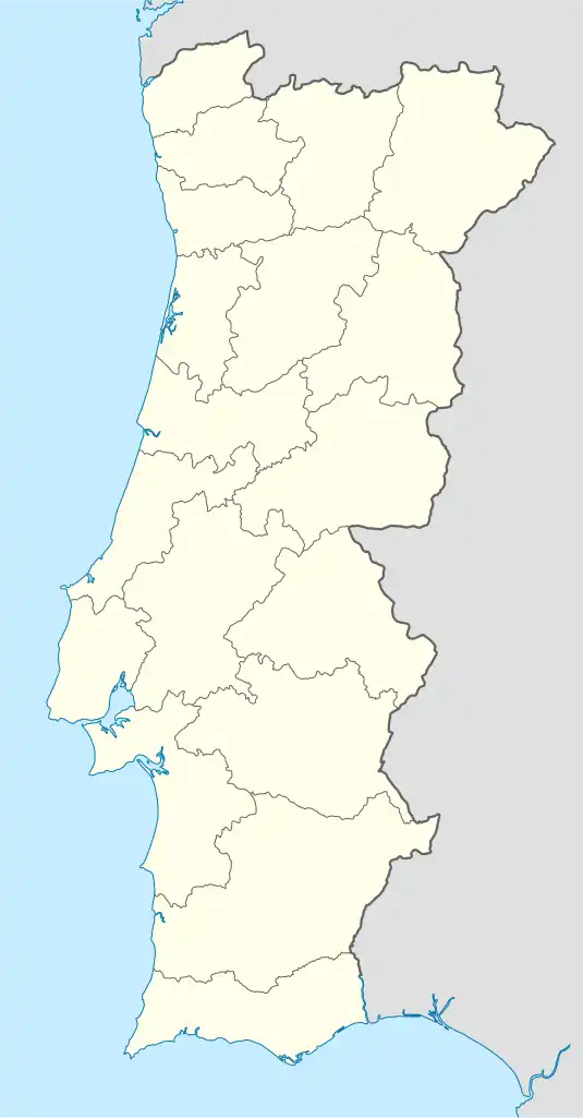 Santa Clara de Louredo Location in Portugal | |
| Coordinates: 37°58′19″N 7°52′19″W / 37.972°N 7.872°W | |
| Country | |
| Region | Alentejo |
| Intermunic. comm. | Baixo Alentejo |
| District | Beja |
| Municipality | Beja |
| Area | |
| • Total | 71.88 km2 (27.75 sq mi) |
| Population (2011) | |
| • Total | 864 |
| • Density | 12/km2 (31/sq mi) |
| Time zone | UTC±00:00 (WET) |
| • Summer (DST) | UTC+01:00 (WEST) |
Santa Clara de Louredo is a parish of the municipality of Beja, in southeast Portugal. The population in 2011 was 864,[1] in an area of 71.88 km2.[2]
References
Parishes of Beja municipality | ||
|---|---|---|
This article is issued from Wikipedia. The text is licensed under Creative Commons - Attribution - Sharealike. Additional terms may apply for the media files.