| Schijenflue | |
|---|---|
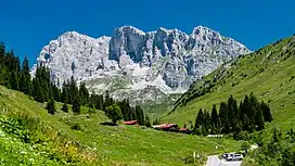 Schijenflue southern face (centre) as seen from St. Antönien. The Wiss Platte is the left summit | |
| Highest point | |
| Elevation | 2,627 m (8,619 ft) |
| Prominence | 57 m (187 ft)[1] |
| Parent peak | Wiss Platte |
| Isolation | 0.41 km (0.25 mi) |
| Coordinates | 47°0′23″N 9°52′24″E / 47.00639°N 9.87333°E |
| Geography | |
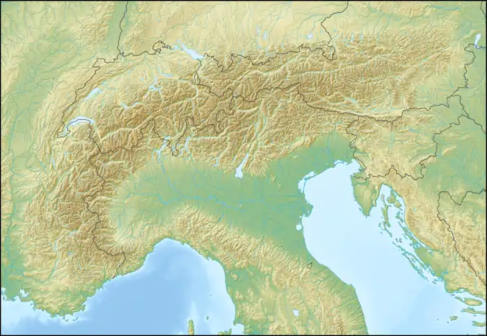 Schijenflue Location in the Alps | |
| Location | Graubünden, Switzerland Vorarlberg, Austria |
| Parent range | Rätikon |
The Schijenflue is a mountain in the Rätikon range of the Alps, located on the border between Austria and Switzerland.
A day or multiday hike that follows the whole of the Rätikon chain and passes Schijenflue on its sunny side is called "Prättigauer Höhenweg".[2]
References
- ↑ Retrieved from the Swisstopo topographic maps. The key col is located north of the summit at 2,570 metres.
- ↑ Hiking Switzerland past Schijenflue, Graubünden Archived 2014-08-18 at the Wayback Machine
External links
This article is issued from Wikipedia. The text is licensed under Creative Commons - Attribution - Sharealike. Additional terms may apply for the media files.