Schuinsrand | |
|---|---|
 Schuinsrand 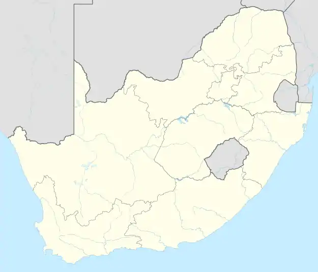 Schuinsrand | |
| Coordinates: 24°16′23″S 29°25′12″E / 24.273°S 29.420°E | |
| Country | South Africa |
| Province | Limpopo |
| District | Capricorn |
| Municipality | Lepele-Nkumpi |
| Area | |
| • Total | 1.95 km2 (0.75 sq mi) |
| Population (2011)[1] | |
| • Total | 1,761 |
| • Density | 900/km2 (2,300/sq mi) |
| Racial makeup (2011) | |
| • Black African | 99.7% |
| • White | 0.1% |
| • Other | 0.3% |
| First languages (2011) | |
| • S. Ndebele | 48.0% |
| • Northern Sotho | 44.3% |
| • Tsonga | 5.4% |
| • Other | 2.3% |
| Time zone | UTC+2 (SAST) |
Schuinsrand is a town in Lepelle-Nkumpi Local Municipality in the Limpopo province of South Africa.
References
- 1 2 3 4 "Main Place Schuinsrand". Census 2011.
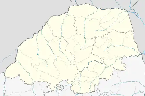
Municipalities and communities of Capricorn District Municipality, Limpopo | ||
|---|---|---|
District seat: Pietersburg (Polokwane) | ||
| Blouberg |
| .svg.png.webp) Capricorn District within South Africa |
| Molemole |
| |
| Polokwane |
| |
| Lepelle-Nkumpi | ||
This article is issued from Wikipedia. The text is licensed under Creative Commons - Attribution - Sharealike. Additional terms may apply for the media files.