Semiway, Kentucky | |
|---|---|
 Semiway  Semiway | |
| Coordinates: 37°28′24″N 87°14′28″W / 37.47333°N 87.24111°W | |
| Country | United States |
| State | Kentucky |
| County | McLean |
| Elevation | 390 ft (120 m) |
| Time zone | UTC-6 (Central (CST)) |
| • Summer (DST) | UTC-5 (CDT) |
| GNIS feature ID | 509031[1] |
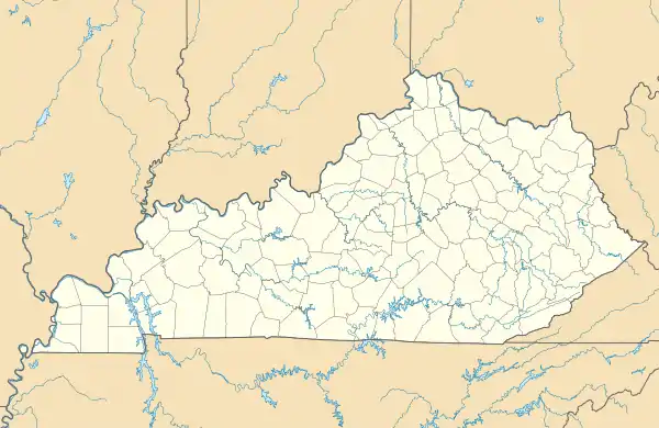
Semiway is an unincorporated community located in McLean County, Kentucky, United States.
It is reportedly named for being located at a "semi" distance between Calhoun and Sacramento.[2]
References
Municipalities and communities of McLean County, Kentucky, United States | ||
|---|---|---|
| Cities | 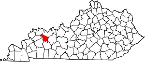 Location of McLean County, Kentucky | |
| CDP | ||
| Unincorporated communities | ||
This article is issued from Wikipedia. The text is licensed under Creative Commons - Attribution - Sharealike. Additional terms may apply for the media files.