Semonkong Airport | |||||||||||||||
|---|---|---|---|---|---|---|---|---|---|---|---|---|---|---|---|
.jpg.webp) | |||||||||||||||
| Summary | |||||||||||||||
| Airport type | Public | ||||||||||||||
| Location | Semonkong, Lesotho | ||||||||||||||
| Elevation AMSL | 7,200 ft / 2,195 m | ||||||||||||||
| Coordinates | 29°50′20″S 28°03′30″E / 29.83889°S 28.05833°E | ||||||||||||||
| Map | |||||||||||||||
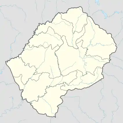 SOK Location of the airport in Lesotho | |||||||||||||||
| Runways | |||||||||||||||
| |||||||||||||||
Semonkong Airport (IATA: SOK, ICAO: FXSM) is an airport serving the village of Semonkong in Maseru District, Lesotho.
See also
References
- ↑ Airport information for FXSM[usurped] from DAFIF (effective October 2006)
- ↑ Airport information for FXSM at Great Circle Mapper. Source: DAFIF (effective October 2006).
- ↑ Google Maps - Semonkong
External links
This article is issued from Wikipedia. The text is licensed under Creative Commons - Attribution - Sharealike. Additional terms may apply for the media files.