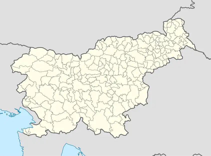
Senik | |
|---|---|
 Senik Location in Slovenia | |
| Coordinates: 46°27′18.78″N 16°5′9.96″E / 46.4552167°N 16.0861000°E | |
| Country | |
| Traditional region | Styria |
| Statistical region | Drava |
| Municipality | Sveti Tomaž |
| Area | |
| • Total | 1.49 km2 (0.58 sq mi) |
| Elevation | 280.3 m (919.6 ft) |
| Population (2002) | |
| • Total | 85 |
| [1] | |
Senik (pronounced [sɛˈniːk]) is a settlement in the Slovene Hills (Slovene: Slovenske gorice) in the Municipality of Sveti Tomaž in northeastern Slovenia. The area belonged to the traditional region of Styria. It is now included in the Drava Statistical Region.[2]
There is a small chapel-shrine with a belfry in the village. It dates to the early 20th century.[3]
References
External links
| Settlements | 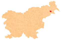 | |
|---|---|---|
| Landmarks |
| |
This article is issued from Wikipedia. The text is licensed under Creative Commons - Attribution - Sharealike. Additional terms may apply for the media files.